Gibbet Street:
Halifax’s Storied Past and Local Legends


Gibbet Street, Halifax — The Road to a Dark Chapter in Halifax’s History
From Gibbet Hill to a growing Halifax district
Gibbet Street is one of Halifax’s most historically evocative roads. Its name recalls the town’s notorious system of execution for certain thefts, but the street’s story extends well beyond the gibbet itself. It also reflects Halifax’s expansion during the nineteenth century, when new roads, housing, churches, schools and industrial premises spread out from the older town centre.
The road was once also known as Gibbet Hill and Gibbet Lane. Its name is inseparable from the Halifax Gibbet, the guillotine-like device used to execute people convicted of certain thefts within the local jurisdiction. The surviving stone platform and later replica stand near the junction of Gibbet Street and Bedford Street North, preserving the link between the modern street and Halifax’s medieval and early modern past.
The Halifax Gibbet and the law of the town
The Halifax Gibbet was an unusual instrument of capital punishment. A heavy axe blade was mounted in a sliding wooden block between upright posts. Once raised and secured, the blade could be released to fall upon the condemned person. The system was associated with the local custom often called Halifax Gibbet Law, under which people caught within the jurisdiction with stolen goods worth at least 13½ pence could face execution after trial.
The custom was especially associated with the theft of cloth and other goods in a district where textile production and trade were central to the economy. Its severity became embedded in local and national memory through the saying, “From Hell, Hull and Halifax, good Lord deliver us!” The phrase reflected the fearsome reputation of Halifax’s justice system, although its origins and precise historical use should be treated with care.
The earliest recorded execution associated with the gibbet dates to 1286, while the last known use was in 1650. The exact number of people executed is difficult to establish because historical accounts differ in the periods and records they cover. Calderdale’s heritage information lists 52 known names on the commemorative plaque, while other historical summaries give slightly different totals. It is safest to describe these as the known recorded victims, rather than claim a definitive total for everyone executed.
The original device was dismantled after its use ended. The stone platform was later rediscovered and preserved, and a replica was erected in 1974. The original blade survives in the collection at Bankfield Museum. The platform is a listed monument in its own right, meaning the site is significant not just because of the story associated with it, but also because physical historic fabric remains.
A road into the expanding town
By the nineteenth century, Halifax was growing beyond its historic centre. New streets and thoroughfares helped connect expanding residential districts with mills, workshops and commercial areas. Gibbet Street became part of this changing urban landscape, with the surrounding district developing alongside nearby roads such as Queens Road and Pellon Lane.
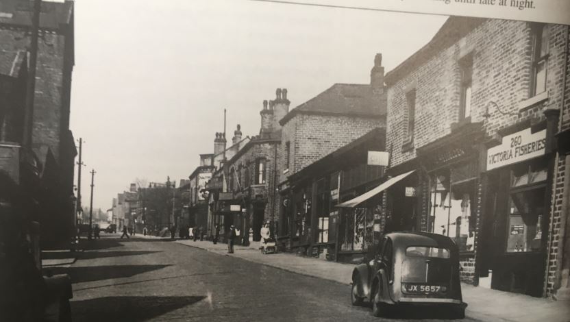
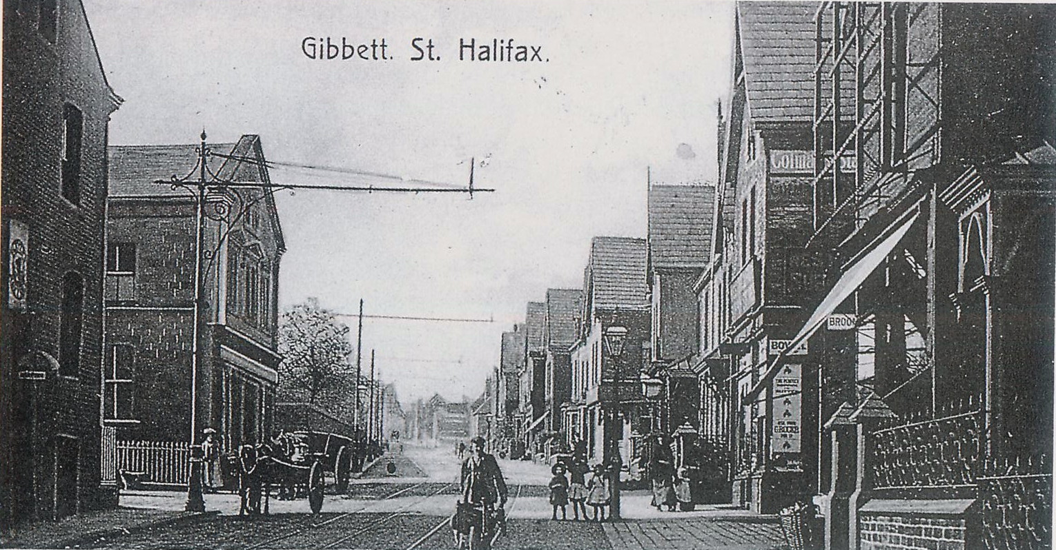
The opening of Queens Road in 1861 created a major new route connecting Pellon Lane with King Cross Road. Housing, mills and businesses subsequently spread along the road and into the wider neighbourhood. This wider expansion provides important context for understanding old photographs of Gibbet Street: the area was not simply a place associated with the gibbet, but part of a growing industrial town whose population needed homes, services and transport links.
Churches, schools and community life
As the population increased, places of worship and education became important landmarks in the district. A Catholic church opened on Gibbet Street in 1839, described in Calderdale’s Park Ward neighbourhood plan as the first Catholic church in Halifax since the Reformation. Its establishment reflects the changing religious and social life of the town during a period of industrial growth.
Education expanded too. Queens Road Board School opened in 1874, following the Education Act of 1870 and the growth of the surrounding neighbourhood. Schools such as this were a key part of Victorian urban development, serving families who lived in the new streets and housing areas around Halifax.
The road and its side streets also became associated with a range of local institutions and businesses. Historic photographs collected on HalifaxPeople show places and street scenes around Gibbet Street, Hope Street, Parliament Street and the wider district. These images help reveal the built environment that developed around the road, from rows of houses and commercial premises to public buildings and transport infrastructure. Each photograph needs to be dated and captioned individually, but together they provide a visual record of how this part of Halifax changed.Industry, public services and urban change
Gibbet Street’s development formed part of Halifax’s broader industrial transformation. Mills and workshops required workers, while the expanding town needed public services, transport facilities and civic buildings. Calderdale’s local history material records a late nineteenth-century landscape of new housing, industrial premises and public institutions across the districts west of central Halifax.
One notable development in the wider area was the opening of a new borough fire station on Gibbet Street in the late nineteenth century. Its presence reflected the growing responsibilities of local government as Halifax became a more densely built-up industrial town. Fire protection was increasingly important in districts containing closely packed housing, factories and commercial buildings.
The character of the street continued to evolve as businesses closed, buildings were altered and transport patterns changed. Some premises survived with new uses, while others disappeared as redevelopment reshaped the neighbourhood. This makes historical photographs particularly valuable: they can preserve views of buildings and streetscapes that no longer exist, and help identify changes in the road’s layout and surroundings.The Gibbet today: preserving a difficult history
The Halifax Gibbet remains the best-known historic feature associated with Gibbet Street, but it is important to distinguish the original monument from the replica. The surviving stone platform is historic; the wooden structure erected in 1974 was a later reconstruction intended to help visitors understand how the device worked. The original blade is preserved at Bankfield Museum.
In 2026, the condition of the replica again became a subject of local heritage discussion. News reports in April and May 2026 described plans approved by Calderdale Council to replace the deteriorating wooden structure with a like-for-like replica. The work is intended to maintain the landmark’s appearance and help preserve its place in Halifax’s public history. Before publishing any statement about whether the replacement is complete or the site is open to visitors, its current status should be checked.
The gibbet’s history is uncomfortable, and it should not be romanticised. It reflects a period when severe punishments were used to deter theft, particularly in a local economy where the loss of cloth and other goods could have serious consequences. Understanding the site means considering both its place in Halifax’s identity and the human cost of the justice system that operated there.Gibbet Street — history beyond the name
Gibbet Street carries the memory of one of Halifax’s most distinctive historical practices, but its wider story is also one of growth and everyday life. The road connects the surviving gibbet site with a district shaped by nineteenth-century housing, religious institutions, schools, industry and public services.
For anyone exploring old photographs of Halifax, Gibbet Street offers a striking contrast between the town’s early legal history and its later industrial expansion. The gibbet explains the name; the surrounding streets, buildings and community landmarks show how a growing town developed around that legacy.
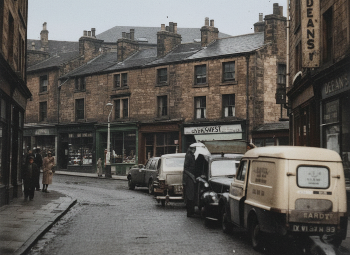
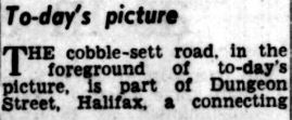
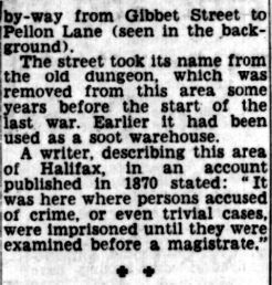
Dungeon Street
 |
 |
  |
  |

Gibbet Street


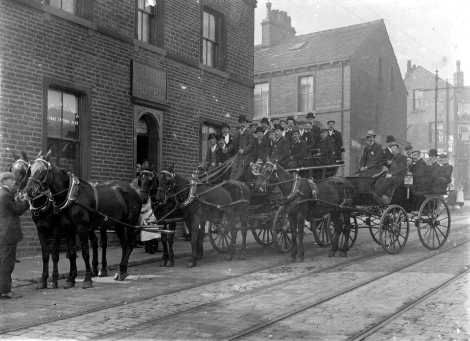
Fleece Inn

Fleece and Queens below it


Hoylands Passage enhanced


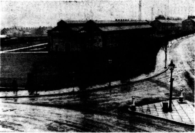
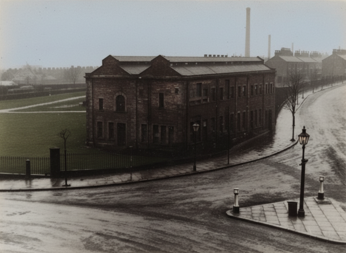
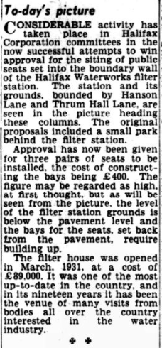
Halifax Bonded Warehouse
Today's photograph shows the bonded warehouse in Gibbet Street, a building that was being considered by a Halifax Corporation committee as part of an investigation into the future of the site. Despite its prison-like appearance, with its heavily padlocked doors and plain exterior, the warehouse had played an important role in local trade for many years.
The Corporation owned the building, while the business conducted there was supervised by Customs and Excise. Imported goods such as wine, spirits, cigars, tea, coffee, tobacco and sugar could be stored in the warehouse without duty being paid until they were withdrawn from bond.
In the case of spirits, storing them in bond offered an additional advantage. As whisky matured over a period of years, some of the liquid was lost through evaporation and absorption into the wooden casks. By allowing spirits to mature while in bond, merchants only paid duty on the quantity remaining when the goods were eventually removed from the warehouse. Customs and Excise charged rent and handling fees, and these payments covered the department's costs. In the last financial year mentioned, the warehouse recorded expenses of £726 against an income of £650, resulting in a loss of £24.
The article also looked back to 1867, when Halifax was noted for its woollen and spirit trades. During that year a new bonded warehouse was being built in Square Road. The structure measured 186 feet in length. An inscription on the building recorded the names of Mayor Thomas Shaw, Town Clerk J. E. Norris, Borough Engineer J. Richardson and members of the committee responsible for the project.
Construction was nearly complete when an accident occurred in January 1867. The walls had reached their full height, roof beams and woodwork were in place, and slates had been fixed. Shortly before one o'clock on 28 January, the roof collapsed, bringing down a row of arches on the ground floor. Fortunately, workmen were away at lunch when the incident happened and no injuries were reported.


Hall Street


Hall Street dustcart

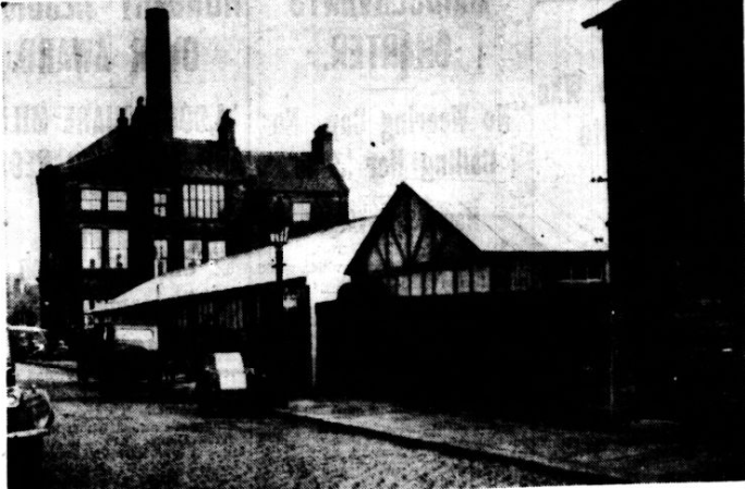
Halifax's Air Raid Precautions Centre During Wartime
This photograph shows part of Halifax's Air Raid Precautions (A.R.P.) headquarters at Hall Street/Gibbet Street, a facility that played an important role in the town's wartime civil defence preparations.
Although the immediate threat of air raids had eased by the time the original article was written, many local volunteers continued to provide essential support and training. The image depicts one section of the headquarters, where three huts had been erected to form part of the A.R.P. complex. The centre was intended to remain operational and ready for use should emergency conditions ever return.
At first glance, the site appears to consist of only two simple huts, but the long building visible on the right was actually made up of two connected structures. Together, these housed a range of civil defence functions, including air raid wardens, first aid squads, communications teams and anti-gas personnel.
The headquarters was equipped with facilities designed to support both men and women volunteers. These included canteen and recreation rooms, along with lecture and training spaces. A section of the centre was also set aside as a gas chamber, although reduced concerns about poison gas attacks meant it was considered less essential than originally anticipated.
Adjacent to the headquarters was a building being equipped with decontamination facilities, including dressing and undressing rooms, wash and shower areas, air-locks and accommodation for rescue, repair and decontamination squads.


corner of Hope Street and Gibbet Street enhanced
 |
 |


Parliament Street

Hope Street and Chatham Street on the right
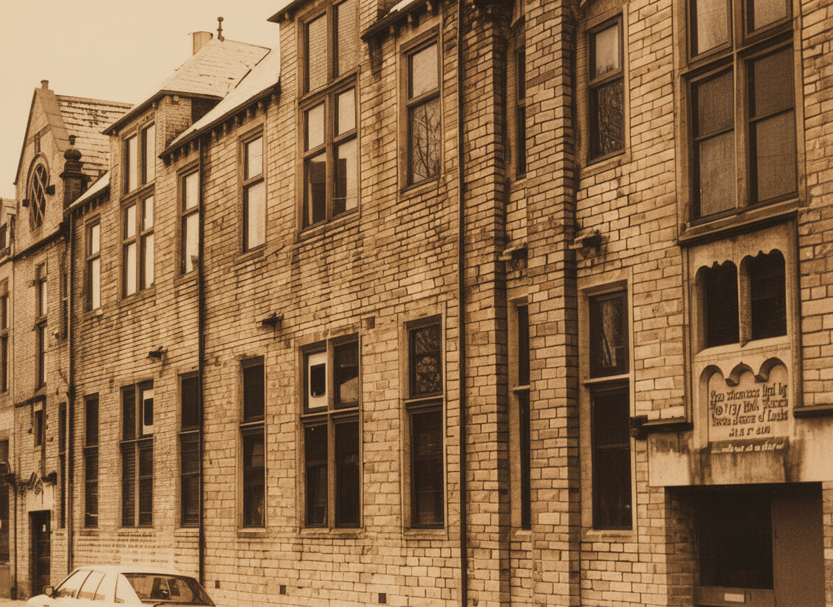
St Marys School, Hope Street, off Gibbet Street
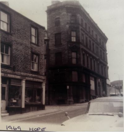
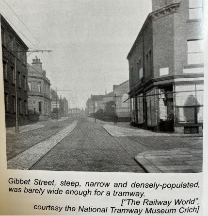


enhanced
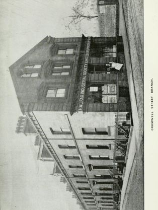
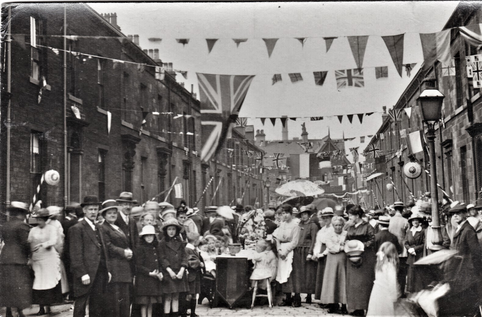
Cromwell Street

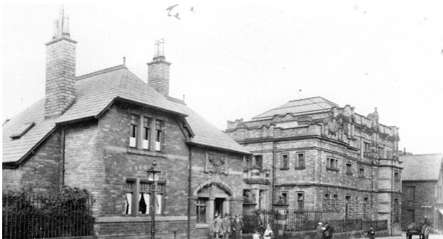
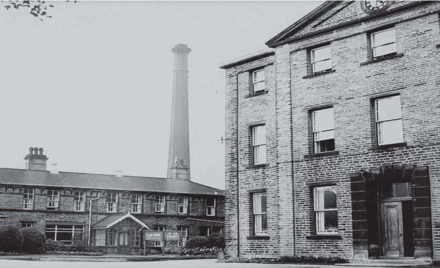
The building seen below the workhouse was a Turkish Baths





enhanced


  |
 |


  enhanced |
 |

  |
 |


 |
Go to Historic Lister Lane |