
Soyland, near Halifax — the story behind the photographs
Soyland is a historic rural settlement above the Ryburn Valley, near Ripponden and Sowerby Bridge, south-west of Halifax. Its landscape of stone farmhouses, Georgian houses, steep lanes and open moorland reflects centuries of farming and textile production. Historically, Soyland was a much larger township than the village understood by that name today, extending across upland countryside towards the Lancashire boundary. In the nineteenth century, it included several mills, chapels and schools, while its population reflected the growth of the textile industry across the Calder Valley.
Samuel Hill of Making Place
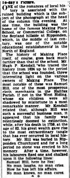
One of the most remarkable figures in Soyland’s history was Samuel Hill (1677–1759), a wealthy cloth merchant who lived at Making Place. He developed a successful business in worsted cloth, exporting textiles to markets across Europe and as far away as St Petersburg. His surviving business papers and pattern books offer an unusually rich record of the early textile trade, when merchants coordinated production across rural households before large factories dominated the industry.
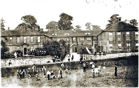
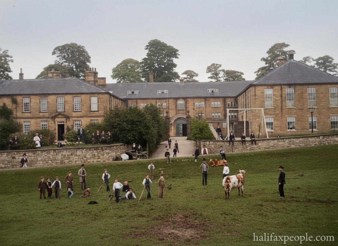
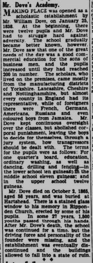
Making Place was more than a private residence: it was the centre of Hill’s business and a symbol of the wealth that textile manufacturing could bring to the upland communities. After Hill’s time, the building took on a new educational role. It was used as a small school before becoming Making Place Academy, a commercial college established by William Dove and his wife in 1832. The academy grew considerably, and one of its pupils was Herbert Henry Asquith, later Prime Minister from 1908 to 1916. The building eventually closed as a school in 1880.
Mills, farming and the growth of textile production
Soyland’s prosperity was closely linked to the fast-flowing streams of the Ryburn Valley. Water-powered mills developed around nearby Mill Bank, while local farmers and clothiers combined agriculture with textile work. The history of the area reaches back at least to 1275, when a manorial corn mill known as Soyland Millnebank was recorded at the meeting of the Lum and Severhills becks. As textile production expanded, additional mills were built within walking distance of the village, eventually supporting cotton, woollen, worsted and silk manufacturing.
By the late nineteenth century, Soyland was a busy rural-industrial township. The Imperial Gazetteer of England and Wales described it in 1870–72 as having several cotton mills, a large silk mill, chapels and a national school. The population had risen substantially during the early nineteenth century before gradually declining as industrial employment and settlement patterns changed. The surviving mills, workers’ cottages and old farmhouses help explain how manufacturing and farming existed side by side in this upland district.
Chapels, schools and village life
Religion played a major role in Soyland’s community life. Methodism was particularly influential, with chapels serving settlements across the township. At Stones, a Wesleyan chapel became the focus of religious and social activity; its foundation stone was laid in 1880 and the chapel and school opened in April 1881. Earlier divisions within local Methodism led to rival congregations and chapels, illustrating how religious beliefs could shape the identity of neighbouring communities.
Education also left a lasting mark. Making Place Academy attracted pupils from further afield, while local schools and chapels provided meeting places in settlements scattered across the hills. Old photographs of Soyland’s streets, farms, chapels and school buildings can help trace this network of community life, although individual building dates and former uses should be checked against archival records before being attached to particular images.Historic houses and a changing landscape
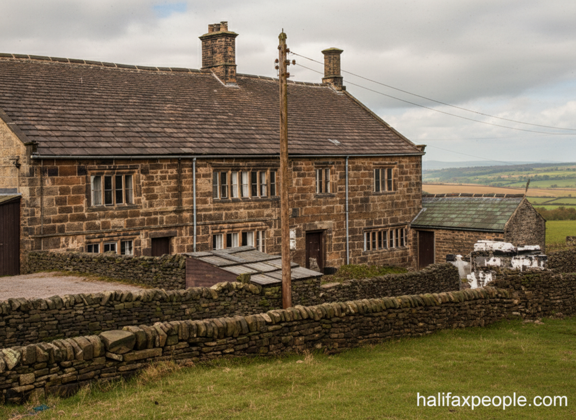
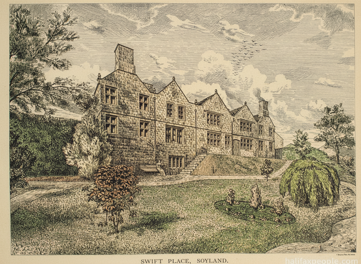
Soyland contains several notable old properties. Swift Place, for example, was built by the Swift family in the early seventeenth century, with the date 1626 and initials carved above the main entrance. Later owners, including members of the Hoyle family, left additional initials and dates on the house and barn. These details make the property a valuable record of the families who owned land and buildings in the district over successive generations.
Soyland’s story is not simply that of a quiet Pennine village. It was once a significant rural-industrial township, shaped by prosperous cloth merchants, water-powered mills, chapels, schools and farming communities. Although many mills have closed and the administrative boundaries have changed, the older houses and lanes still reveal traces of that history. Historic photographs help bring the story back into view, connecting today’s landscape with the people and businesses that once made Soyland an important centre of textile production.

 |
 |
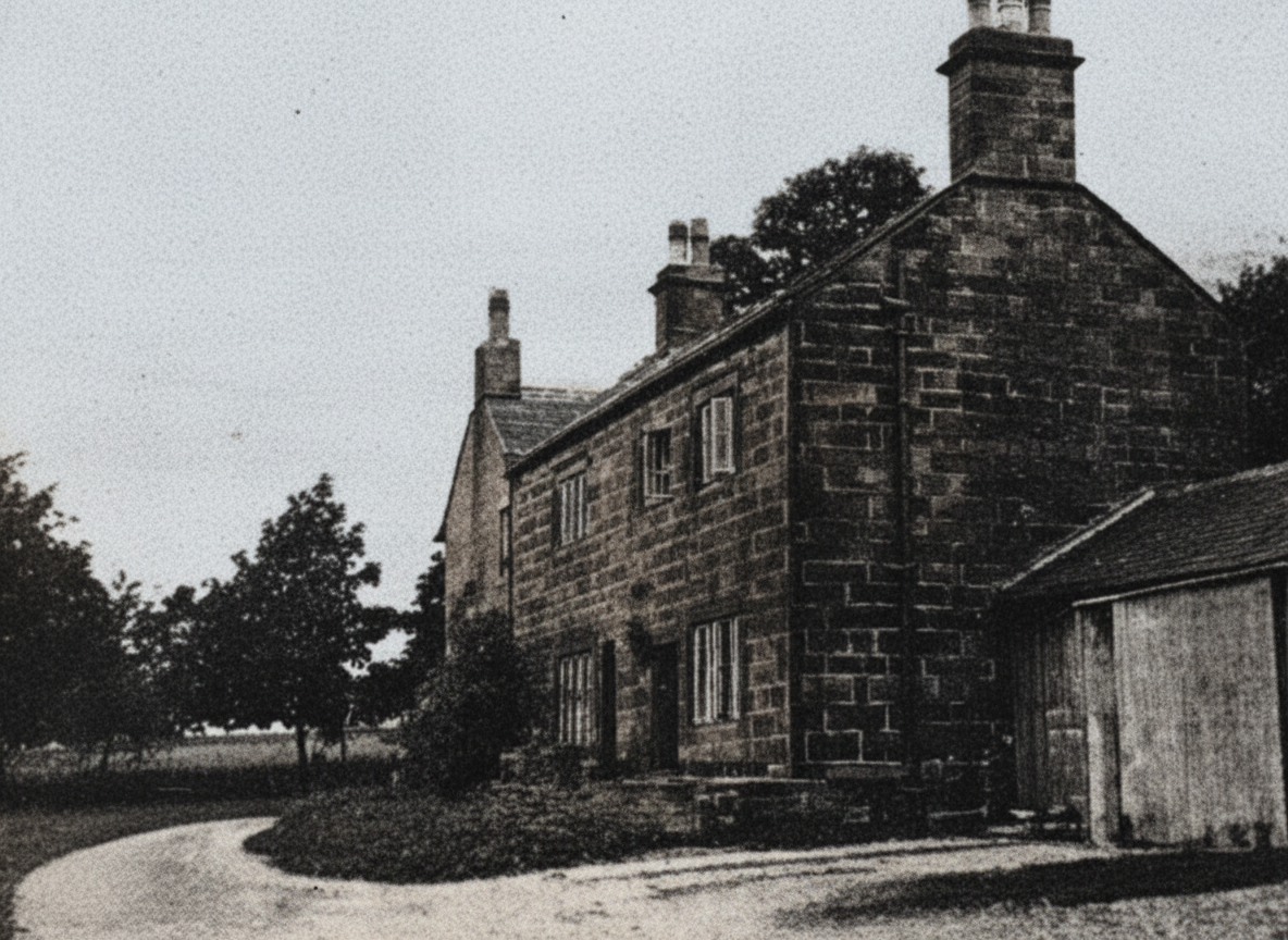 |
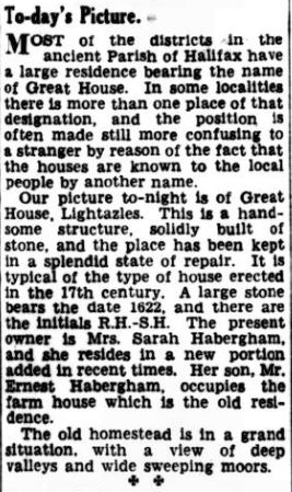 |
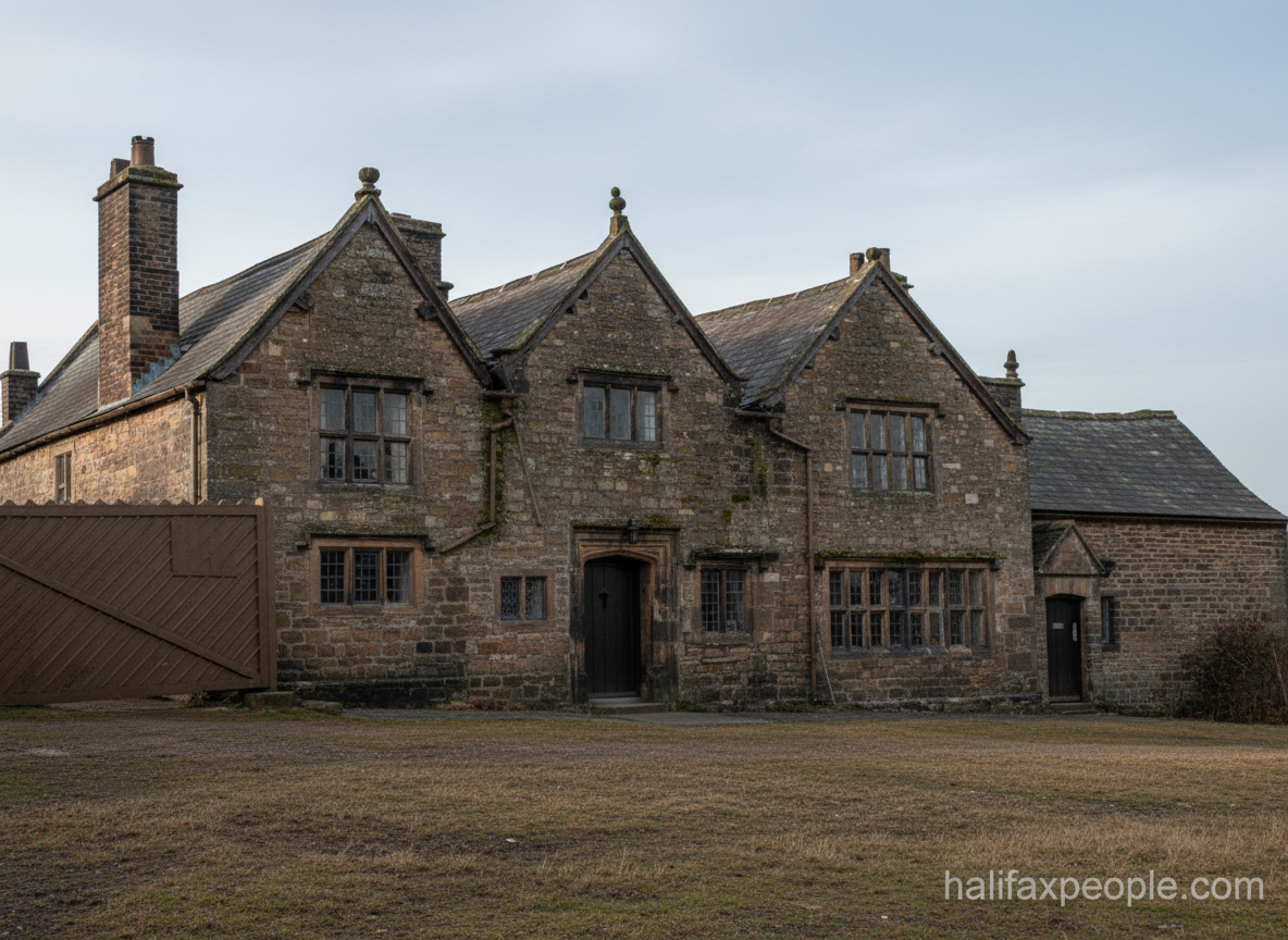 enhanced |
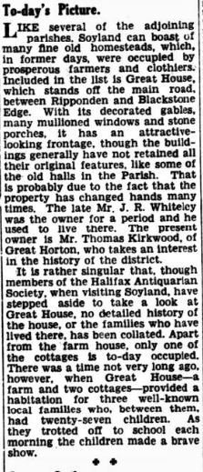 |
  enhanced |
 |


Damside


enhanced
  enhanced 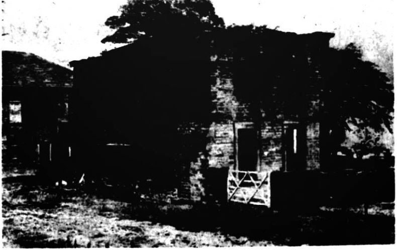 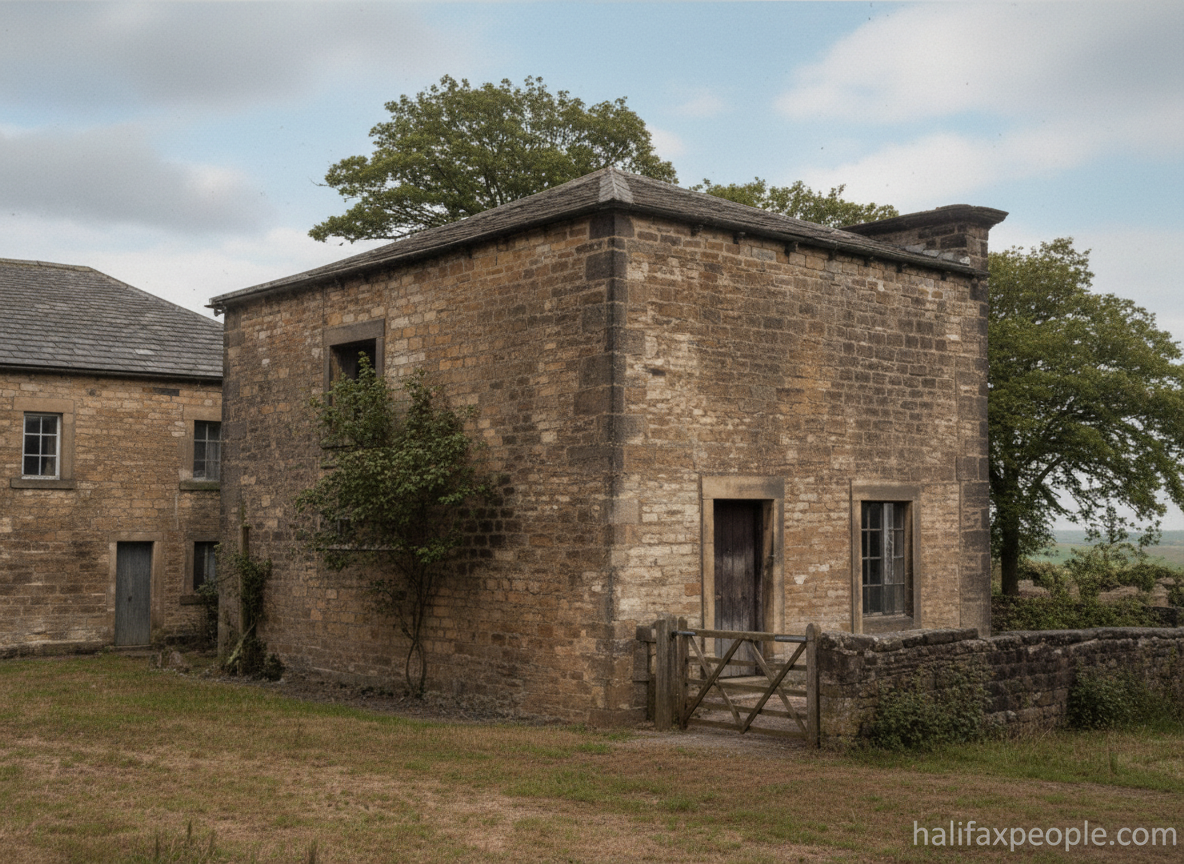 enhanced |
  |
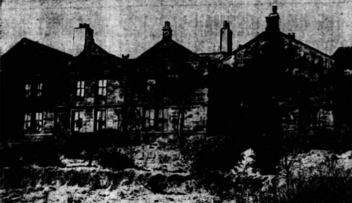 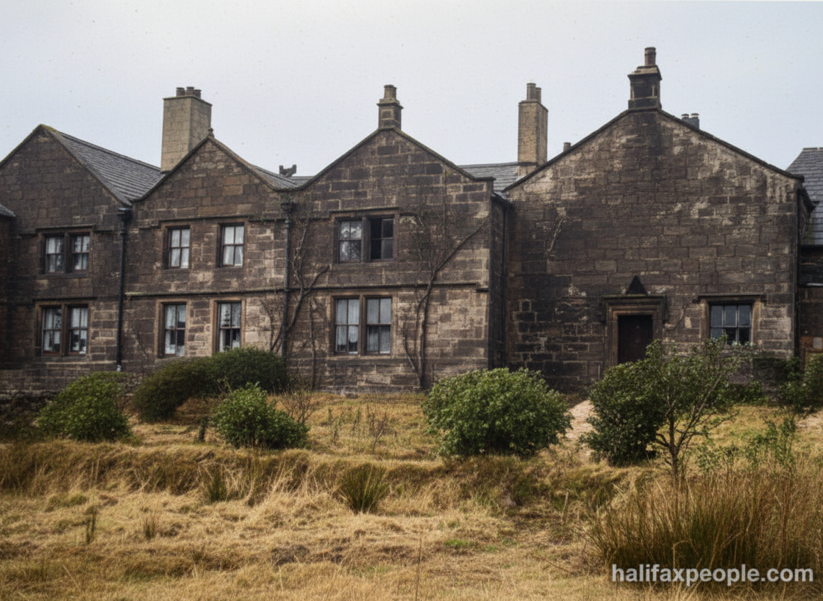 enhanced |
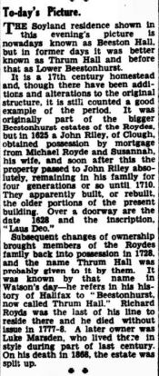 |

Cottonstones, near Halifax — the story behind the photographs
Cottonstones is a small historic settlement above the Ryburn Valley, close to Mill Bank and Soyland, near Sowerby Bridge. Surrounded by steep fields, old stone buildings and winding rural lanes, it forms part of a landscape where farming, textile production and village life developed side by side. The name has an unusual possible origin: Malcolm Bull’s Calderdale Companion records a local explanation that the “stones” were used to lay out the seed heads of cottongrass to dry after washing. This is an intriguing traditional explanation, rather than a definitively established derivation.
St Mary’s Church and the village community
One of Cottonstones’ most recognisable landmarks is St Mary’s Church, opened in 1848. The church was provided by the Hadwin family for the people working and living in Cottonstones, Mill Bank and Soyland. Its modest scale and stone construction reflect the character of the surrounding villages, while its churchyard preserves gravestones that record local families and their connections with nearby farms and communities. Inscriptions such as those commemorating James Dugdale of Ripponden and members of the Hartley family provide valuable evidence for anyone tracing the people who lived and worked in the area.
Mills, farming and the surrounding countryside
Cottonstones shares its industrial history with neighbouring Mill Bank and Soyland. The wider area once supported several textile mills, taking advantage of the streams and watercourses that ran through the Ryburn Valley. According to the Mill Bank village newsletter, seven mills once provided employment for local residents. None now operates as a textile mill; Lower Soyland Mill was the last to remain in the trade, with Ryburn Knitwear using the premises into the 1970s before the building was converted into flats. The remains of former mills and their associated buildings are reminders of how manufacturing reached into even the smaller rural settlements of Calderdale.
The Alma Inn and local social life
The Alma Inn, at Four Lane Ends in Cottonstones, is another landmark in the settlement’s story. The pub’s exact opening date remains uncertain, although a carved “ALMA” inscription on its chimney has been linked to the Crimean War of 1854–56. The inn was purchased by Samuel Webster Brewery in 1931 for £800, and records from the early 1930s describe a very different rural pub, with paraffin lighting and limited domestic amenities. Its history reflects the role of village pubs as social centres for local residents, workers and travellers crossing the surrounding hills.
A village landscape that still holds its history
Cottonstones remains closely connected to the surrounding countryside through its lanes, footpaths and bridleways. Local community groups continue to organise heritage walks and preserve knowledge of the area’s past. The village is also known for its seasonal toad migration to the old mill pond, with volunteers helping the animals cross the roads safely each spring—a modern community tradition rooted in the landscape itself.
Cottonstones’ story is one of a small settlement shaped by both rural life and industry. St Mary’s Church, the Alma Inn, the traces of former mills and the surrounding fields together preserve a picture of a community that developed alongside Mill Bank and Soyland, while retaining its own identity. Historic photographs can help uncover the people, buildings and everyday routines that made this corner of Calderdale distinctive.
 |
 |
 |
 |
 |
 |
 |
Continue to Historic Rishworth |
If you have enjoyed your visit to this website, please spread the word by clicking the 'like' and 'share' buttons below. Thank you