Salterhebble E-zine

WundaNumba 777-545 - What's behind your WundaNumba.com
Salterhebble, Halifax — The 14 Locks, Lost Canal and Industrial Valley
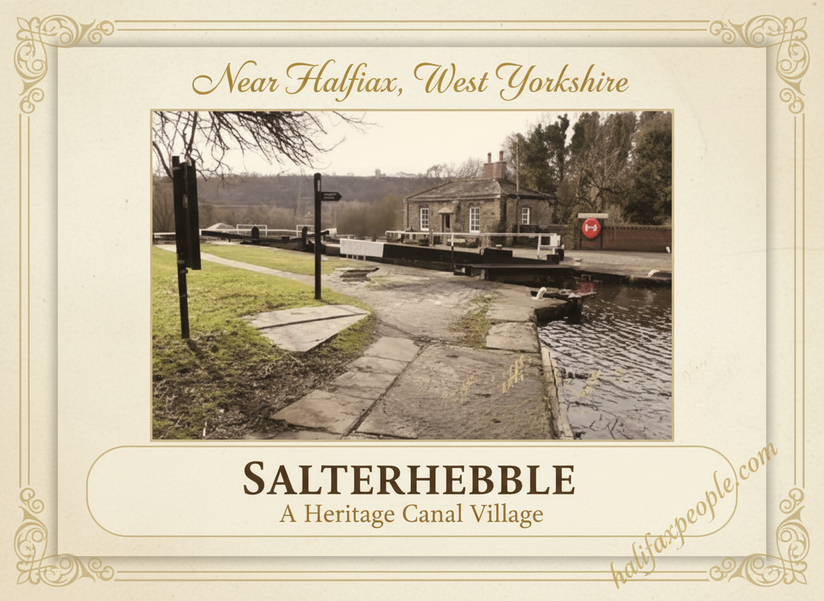
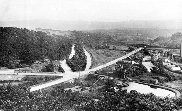
Salterhebble was once the gateway for canal boats bringing coal and other goods towards Halifax. When the Halifax Branch of the Calder and Hebble Navigation opened in 1828, boats could travel from Salterhebble Basin up towards the town centre through 14 locks, climbing around 100 feet. The engineering was ambitious, but the route had to overcome steep ground and the challenge of supplying enough water to keep the canal operating.
The canal transformed transport in the Hebble Valley. Coal could reach local mills more easily, helping fuel Halifax’s expanding industries. Yet the water was already essential to mills along Hebble Brook, and disagreements over water supplies complicated the canal’s extension. Engineers developed a pumping system to lift water back up the valley and feed the higher sections.
The Halifax branch closed in 1942, and much of it gradually disappeared beneath later development. Today, parts of the old route can be explored along the Hebble Trail, where surviving locks, the canal basin and Salterhebble Lock House recall the days when barges worked their way towards Halifax.


 |
 Trams, Trains, Bridges and Lifts |
 Salterhebble Riots |
 |


The earliest recorded landlord was Thomas Earnshaw in 1829.
John Aspinall, who was the registered landlord from 1841 to 1851, apparently arrived, with his family, in Sydney, Australia aboard the Mary Ann in 1857, but on arrival the parents of both John and Sarah Aspinall were shown as dead.
On 21st January, 1863, Robert Mitchell was being disorderly at the pub, and Sarah Wilkinson, the landlord's wife, asked him to leave. He refused and struck Sarah on the chest and head. She became sick and ill. She was found dead in bed the next morning. Robert Mitchell was charged with manslaughter.
The tram would stop here and people would climb the hill to the Halifax Zoo, which you can see advertised on the pub wall(picture above). This would have been when the zoo was in it's prime and tens of thousands of visitors from miles around were attracted.
 |
 |
Unfortunately, and after a long time since the pub was open for trade, it is due for demolition to make way for a new road system that will hopefully ease traffic congestion that has affected this area for many years.
The West Riding experienced one of the most dramatic physical battles for territory of 1842, which resulted briefly in a pan-regional movement. Early in the morning of 15 August, Halifax strikers met on Skircoat Moor and processed four miles along the valley, turning out mills en route. They converged with three other groups of strikers at the Pennine rendezvous of Luddenden Foot. The four groups, numbering an estimated 5000 strikers, assembled back along the valley at the King’s Cross on the Burnley Road, making ‘one immense procession filling the whole breath of the road and stretching to a vast length’ to enter Halifax.
Reaching the North Bridge at the top of Halifax about noon, ‘the military and police were drawn up, so as to occupy the whole road and prevent the passage of people, the cavalry being posted in front, the infantry next, and behind them the people and special constables’.
|
The Illustrated London News depicted an invading army besieging a fortified town. But this was an army of its own inhabitants attempting to reoccupy their own town from the military. - |
 |
The next day, 16 August, strikers and their supporters sought revenge. The prisoners taken at Halifax were sent to Elland railway station to travel on to Wakefield prison. A rescue attempt failed, but the populace then planned to ambush the carriage of soldiers on their return to Halifax. The soldiers, defenceless in the dip of the road, were ambushed from the embankment above with a volley of stones. The rest of the day was marked by ugly confrontations between strikers and troops in Halifax, resulting in at least three fatalities, including one soldier.[2]
Salterhebble School, Stafford Square

This was also known as Stafford Square School and stands behind St. Andrew's Methodist Church.
Waterworks

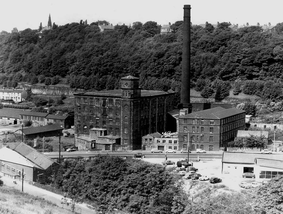
Constructed between 1899 and 1911 on the site of the former Salterhebble Abattoir. Formally opened on 6th February 1901. It was extended in 1907 to handle commercial effluent. Due to the water treatment works, the road from the bottom of Salterhebble to West Vale is locally known as 'Smelly Mile'.




Have A Great Story About This Topic?
Do you have a great story about this? Share it!
If you have enjoyed your visit to this website, please spread the word by clicking the 'like' and 'share' buttons below. Thank you