Historic Rastrick
Historic Rastrick

This section takes us around Rastrick Common to Thornhill
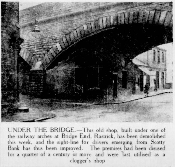


Brighouse Echo 1986


This section takes us up Thornhill Road
Bridge End Railway Viaduct, Brighouse – A Link with the Railway Pioneers
At Bridge End, Brighouse, the railway passes over the road on a stone structure that is easy to overlook unless you stop and look up. Its low arch and heavy masonry are reminders of the extraordinary engineering work involved in bringing the railway through the Calder valley in the early 1840s.
This is part of the original Manchester and Leeds Railway route, one of the pioneering railway lines of northern England. The line reached Brighouse in October 1840, bringing a new means of travel and transport to a town that was already developing through textiles, manufacturing and trade.
The railway arrives in 1840
The Manchester and Leeds Railway opened its line through Brighouse on Monday, 5 October 1840. The opening was a major event: the railway connected the town into a much wider network, with trains running between Leeds and Hebden Bridge and the prospect of a through route to Manchester.
A reporter travelling on the first train described the route through the Calder valley, its bridges and viaducts, and the engineering needed to carry the railway through difficult ground. The railway had to cross the river and roads, negotiate steep valley sides and pass close to existing mills and settlements.
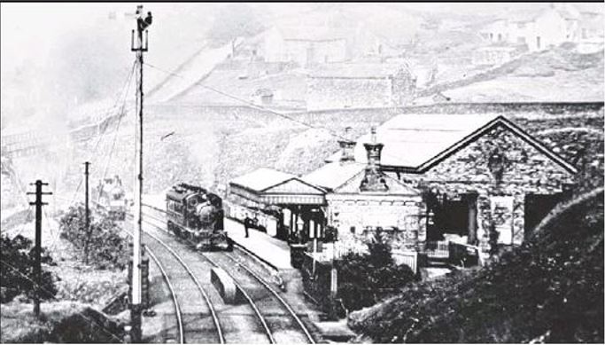
Brighouse's first station stood on the Rastrick side of the river. Although it carried the name Brighouse, its position south of the Calder has long been a point of local interest.

A structure from the pioneering railway age
The Bridge End structure is recorded in railway bridge listings as MVN2/174, also described as Rastrick Viaduct or Bridge End Viaduct. The listing gives its construction date as 1840 and identifies it as a stone arch structure.
A photograph taken in July 2018 records it at the junction of Bridge End and Cliffe Road. The photographer also noted an Ordnance Survey benchmark fixed to one of its piers – a small but interesting detail showing how the old structure has served as a reference point as well as a railway crossing.
There is a nearby railway structure which can cause confusion. Bridge MVN2/171 is another low arched bridge in the same area, photographed from Cliffe Road towards the A643. It is important not to mix photographs or descriptions of the two structures when tracing the history of Bridge End.
Recorded in an 1845 railway book
The early railway landscape around Brighouse was illustrated just a few years after the line opened.
A. F. Tait's Views of the Manchester and Leeds Railway, published in 1845, included a plate titled “Rastrick Terrace & Viaduct”, as well as a separate view of Brighouse Station. The book contained twenty illustrations of the railway's landscape, engineering and architecture.
These early illustrations are especially valuable because they were produced when the railway was still new. They offer a chance to compare the appearance of the railway structures and surrounding valley with the scene today.

A railway still in use
The railway route through Brighouse remains active. The original station closed in January 1970, but a new station on the same general site reopened in May 2000.
The stonework at Bridge End has therefore outlasted the original railway company, the Lancashire and Yorkshire Railway which succeeded it in 1847, and many generations of changes to Brighouse itself.
It is easy to think of the viaduct as simply another bridge carrying trains over a road. In fact, it belongs to the first great period of railway construction in the Calder valley – a time when engineers were finding ways to make rail travel possible through a landscape of steep hills, rivers, mills and tightly built settlements.


 |
 |

Thornhill Arms, Rastrick


Highfield Road


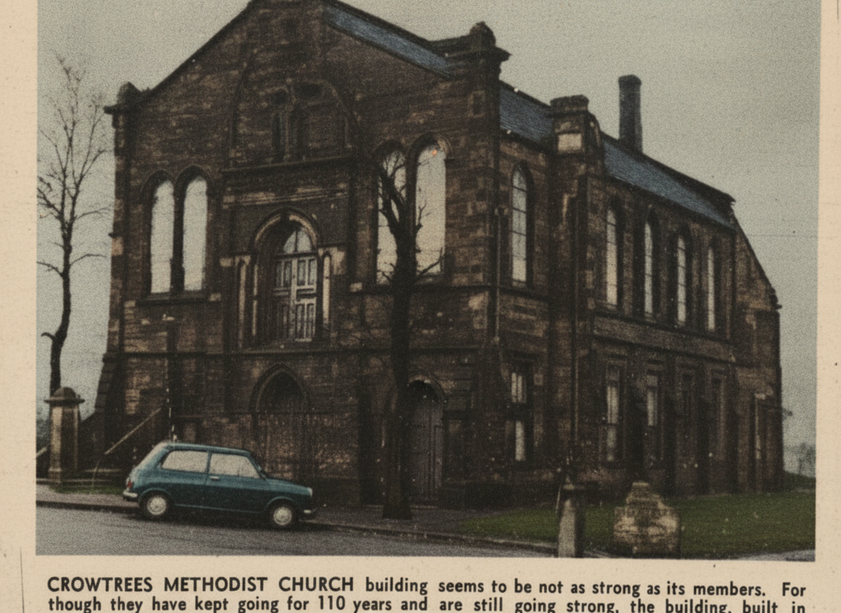
Built in 1877 and can no longer be used as deemed as unsafe. Echo 1970
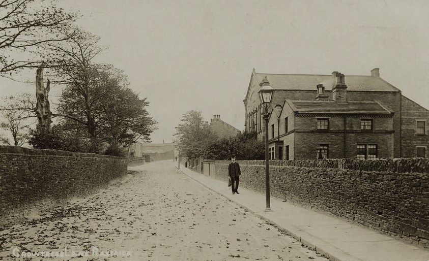
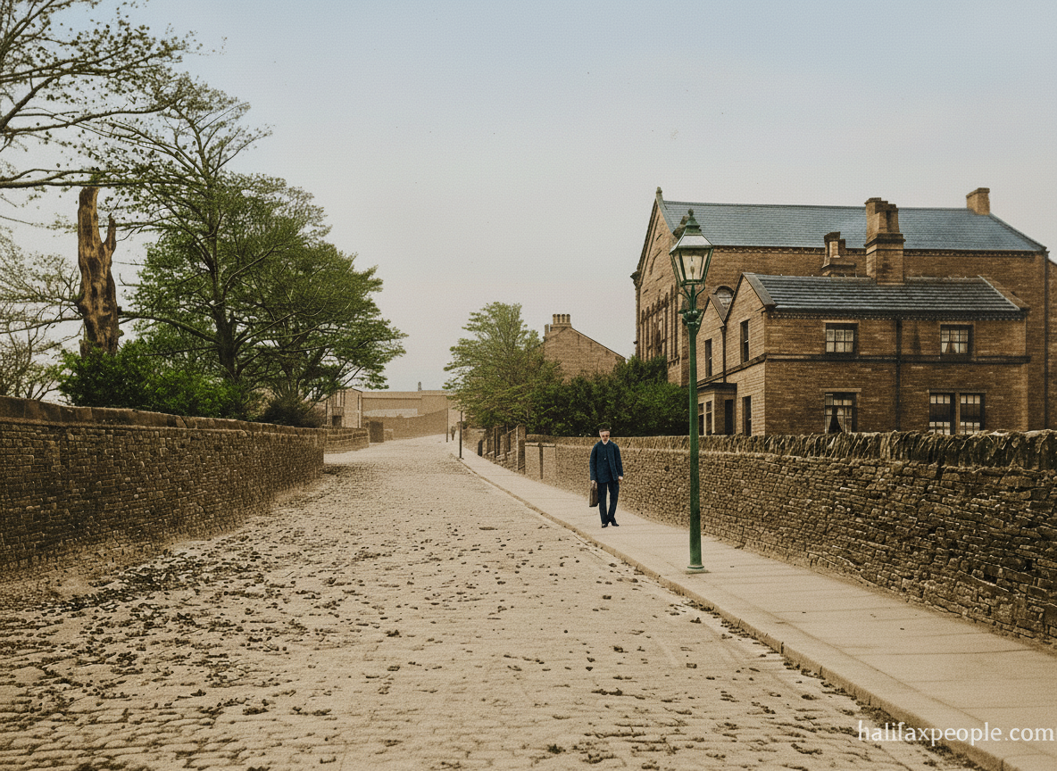
enhanced


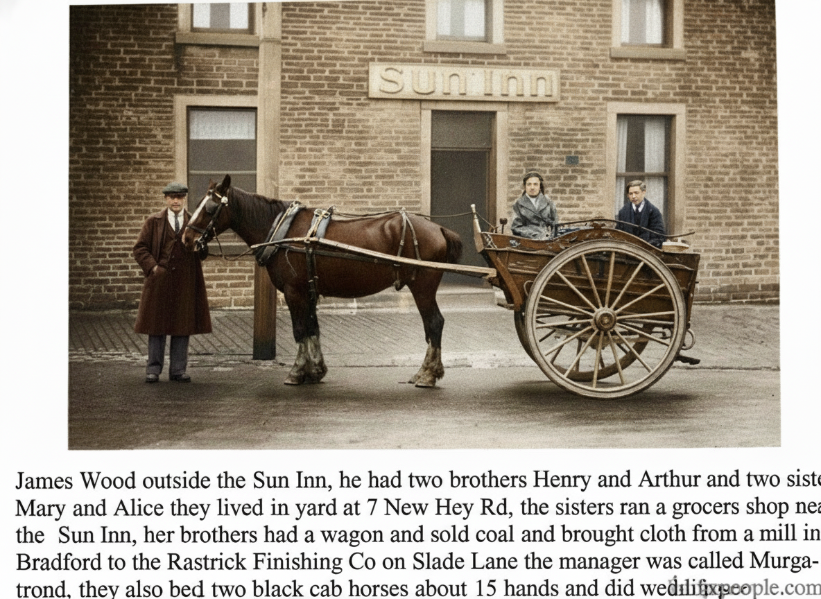
enhanced

enhanced

The Black Horse Inn at 52/53 New Hey Road, was at the opposite side of the road to the Sun Inn and closed in 1913.




 |
Continue to |
If you have enjoyed your visit to this website, please spread the word by clicking the 'like' and 'share' buttons below. Thank you