Historic King Cross Street

King Cross Lane, Halifax — The Old Road into Town
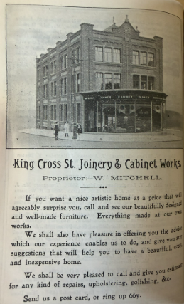
King Cross Lane is part of the historic route connecting Halifax’s centre with King Cross and the roads leading west towards Lancashire. The street belongs to a network of older lanes that developed before the surrounding area became a continuous urban suburb. By the 18th century, the western extension of King Cross Street was taking shape, and the road formed part of the approach to the busy crossroads at King Cross.
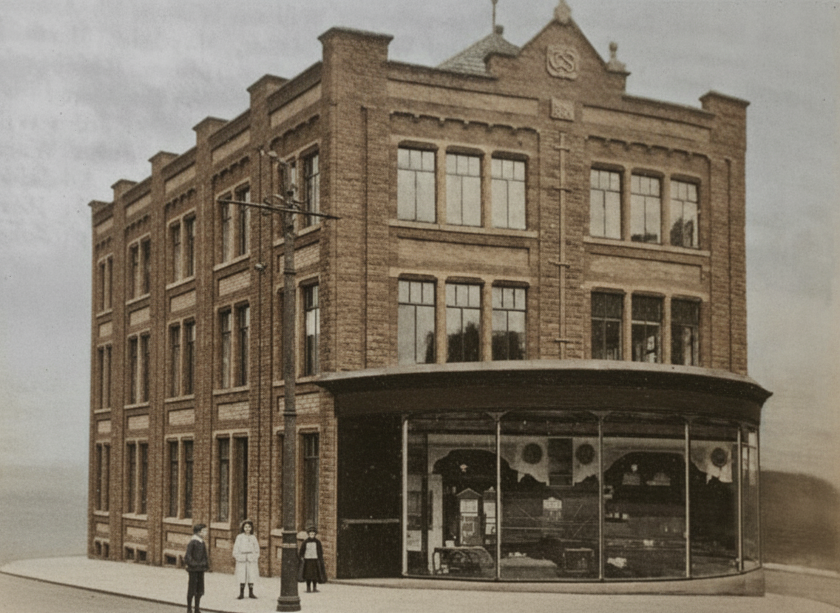
During the 19th century, Halifax expanded rapidly as textile manufacturing and trade grew. Streets around the route filled with shops, workshops, public houses and housing, serving workers travelling between the town centre and the industrial districts to the west. Historic photographs of King Cross Lane show a street of tightly packed stone buildings, with shopfronts at ground level and homes above. These images provide a useful record of the commercial life that once lined the route.
King Cross Lane also formed part of a wider transport corridor. Turnpike roads improved journeys out of Halifax, while later public transport made it easier for workers and shoppers to travel between the town centre and its growing suburbs. The junction at King Cross became increasingly busy as traffic from the Calder and Ryburn valleys converged before continuing into Halifax. In the modern era, road widening and junction changes have altered the setting of the older street, although its historic alignment remains part of the town’s road network.
Today, King Cross Lane is best understood as one piece of Halifax’s wider historic street pattern. Old photographs and local records help reveal the shops, businesses and buildings that once made the route a lively part of everyday town life.


  |
  |

Hop Pole Inn (centre)


This was the headquarters of the Halifax Law Society from March 1928 and has many traditional associations with the legal profession. Built before 1730 on land adjoining Hill Top House, later known as the 'Nags Head', it's inhabitants have included names such as Hopwood, Alexander, Hamerton and Huntriss. It has also been a nest of antiquarians.


  enhanced   enhanced |
  |
  enhanced |
 |


New Bond Street

 |
 |


Middle Street viewed from Spice Cake Lane


 |
  |


The Cross Keys centre enhanced


 |
 |
This became 'The Playhouse'

Akeds Road
  |
 |
Park Road


Park Road Baths at the bottom of People's Park


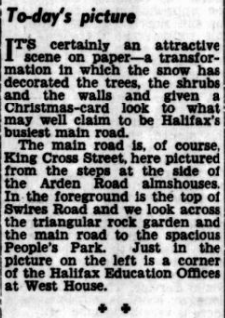
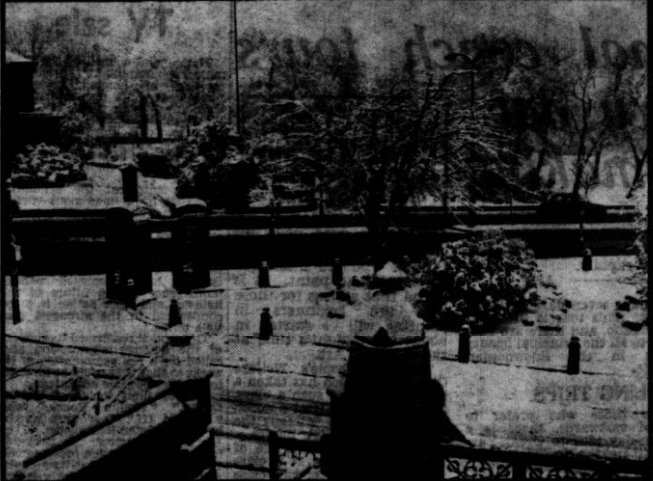 People's Park view taken from the end of Arden Road |
 |


Continue to Haugh Shaw and Bell Hall
Continue to Historic King Cross
If you have enjoyed your visit to this website, please spread the word by clicking the 'like' and 'share' buttons below. Thank you