Cromwell Bottom & Cromwell Woods:

Halifax’s Riverside Nature Escape
Cromwell Bottom, near Halifax — the story behind the photographs
Cromwell Bottom lies in the Calder Valley between Elland and Brighouse, where the River Calder runs alongside the Calder and Hebble Navigation. Today, the area is best known for its wildlife and peaceful waterside paths, but its landscape has been shaped by generations of industry, quarrying and waste disposal. The story of Cromwell Bottom is a striking example of how land once heavily altered by human activity can develop into an important natural habitat.
The canal, river and historic crossings
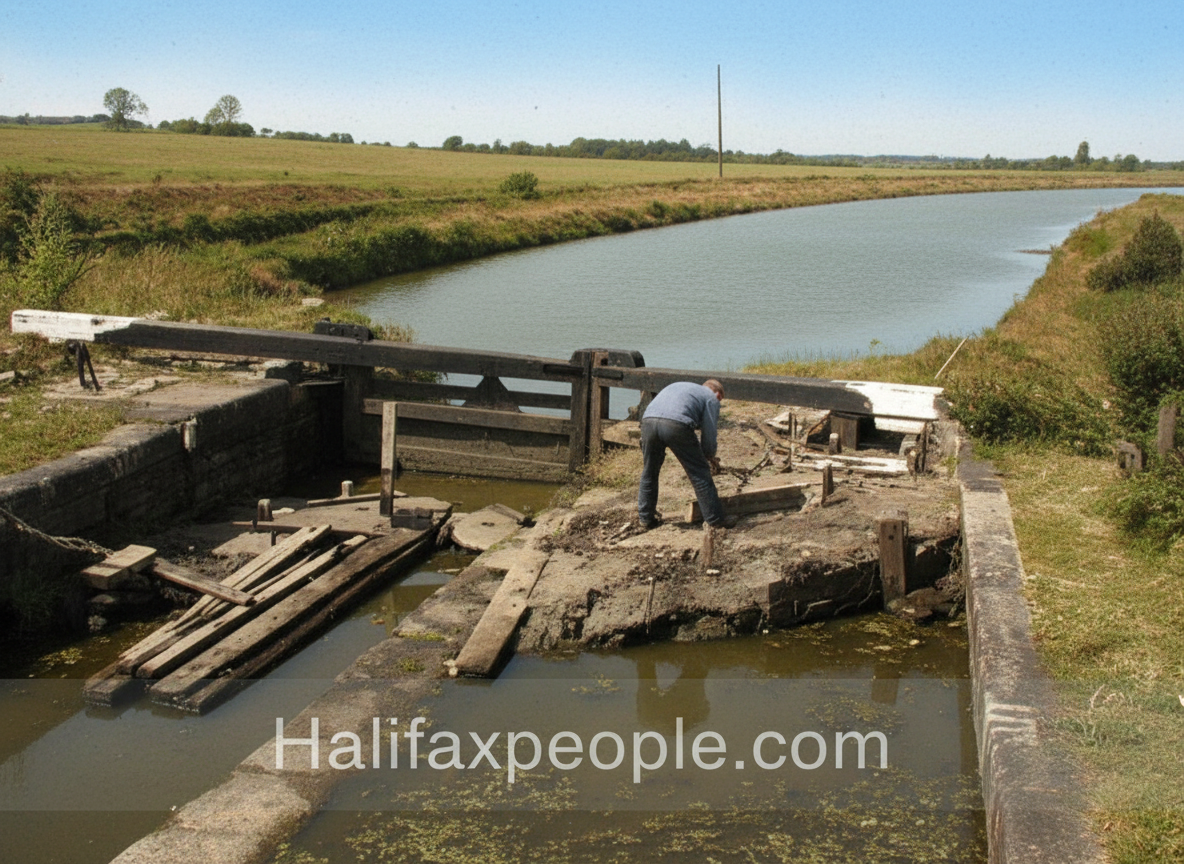
The River Calder and the Calder and Hebble Navigation have long shaped the character of Cromwell Bottom. The navigation improved the movement of goods through the Calder Valley, supporting the mills, industries and settlements that grew along its banks. Nearby Cromwell Lock and its stone bridge remain reminders of the engineering that made the waterway navigable. The lock is recorded as an eighteenth-century structure and is listed Grade II, reflecting its historic importance.
The river, canal and railway also helped define the area’s physical boundaries. These transport routes made the valley floor useful for industry and extraction, while the low-lying land and watercourses later influenced how the site was reclaimed. Historic photographs of the canal, bridges, riverbanks and former industrial ground can help document the changes in this landscape over time.
Quarrying, Elland Power Station and the changing landscape
Cromwell Bottom’s modern history is closely linked to the extraction of glacial gravel during the 1950s and 1960s. The site was subsequently used to deposit pulverised fuel ash (PFA) from the nearby Elland Power Station, as well as other industrial and landfill material. Some ash was later excavated for use in construction, including work associated with the M62 motorway. Other areas were filled, capped or turned into water bodies used for activities such as angling.
These activities profoundly altered the land. What had been a valley-floor landscape of gravel deposits became a patchwork of made ground, ponds and former industrial lagoons. Yet the materials left behind also helped create unusual conditions for plant growth. The alkaline character of the ash-rich substrate contributed to the development of grassland and wetland habitats that support a wide range of wildlife. The site’s history is therefore not simply one of industrial damage, but also of an unexpected ecological transformation.
From former tip to local nature reserve
Cromwell Bottom became a Local Nature Reserve in 2000. Its mixture of wetland, meadow, woodland, ponds and lagoon provides habitats for birds, insects, mammals and amphibians. Birds recorded in the area include kingfishers, herons, curlew and oystercatchers, while the meadows and wetland edges support butterflies, moths, dragonflies and damselflies. The reserve is now recognised as one of Calderdale’s important wildlife sites.
The transformation has depended on ongoing care and conservation. The Cromwell Bottom Wildlife Group, founded in September 2011, works alongside Calderdale Council to maintain habitats, manage paths and encourage people to learn about the site’s natural history. A visitor centre, wildlife-viewing areas and educational facilities help connect the reserve with the local community. The site also offers an unusual opportunity to see how nature can recolonise land formerly used for quarrying, ash disposal and landfill.
A landscape with more than one story
Cromwell Bottom’s history brings together transport, industrial extraction, power generation, waste disposal and nature conservation. The canal lock and bridge recall the importance of water transport; the altered ground reveals the impact of twentieth-century industry; and the wetlands and woodlands show how the landscape has changed again. Its story is not that the industrial past has disappeared, but that its physical legacy remains part of the environment that exists today.
For anyone exploring old photographs of the area, the most revealing comparisons are likely to be images of the canal and river crossings, the former quarry and ash-disposal land, and the gradual development of the reserve. Together, they help explain how Cromwell Bottom became one of Calderdale’s distinctive places where industrial history and wildlife now sit side by side.


enhanced


enhanced


enhanced


enhanced


enhanced


enhanced


enhanced
Cromwell Bottom Hall


enhanced

enhanced

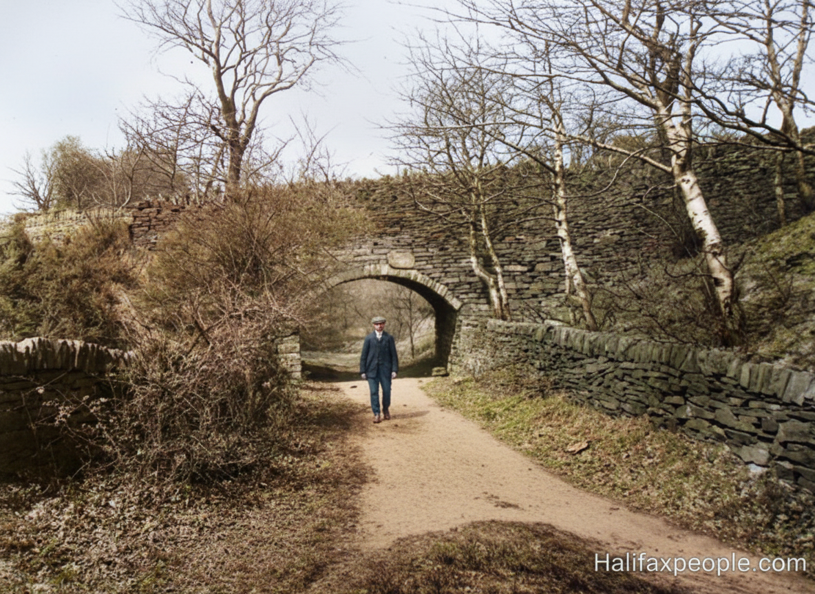
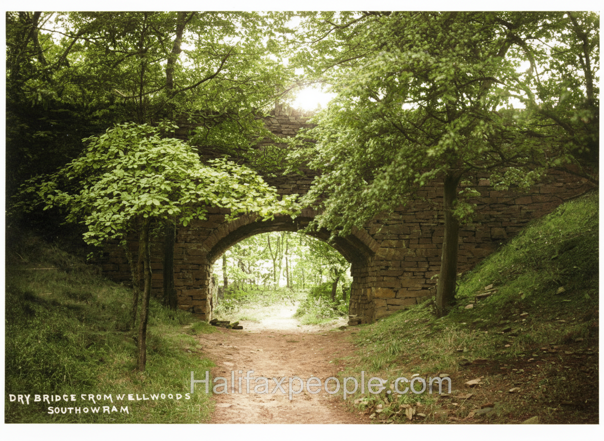
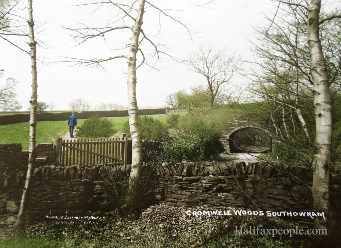
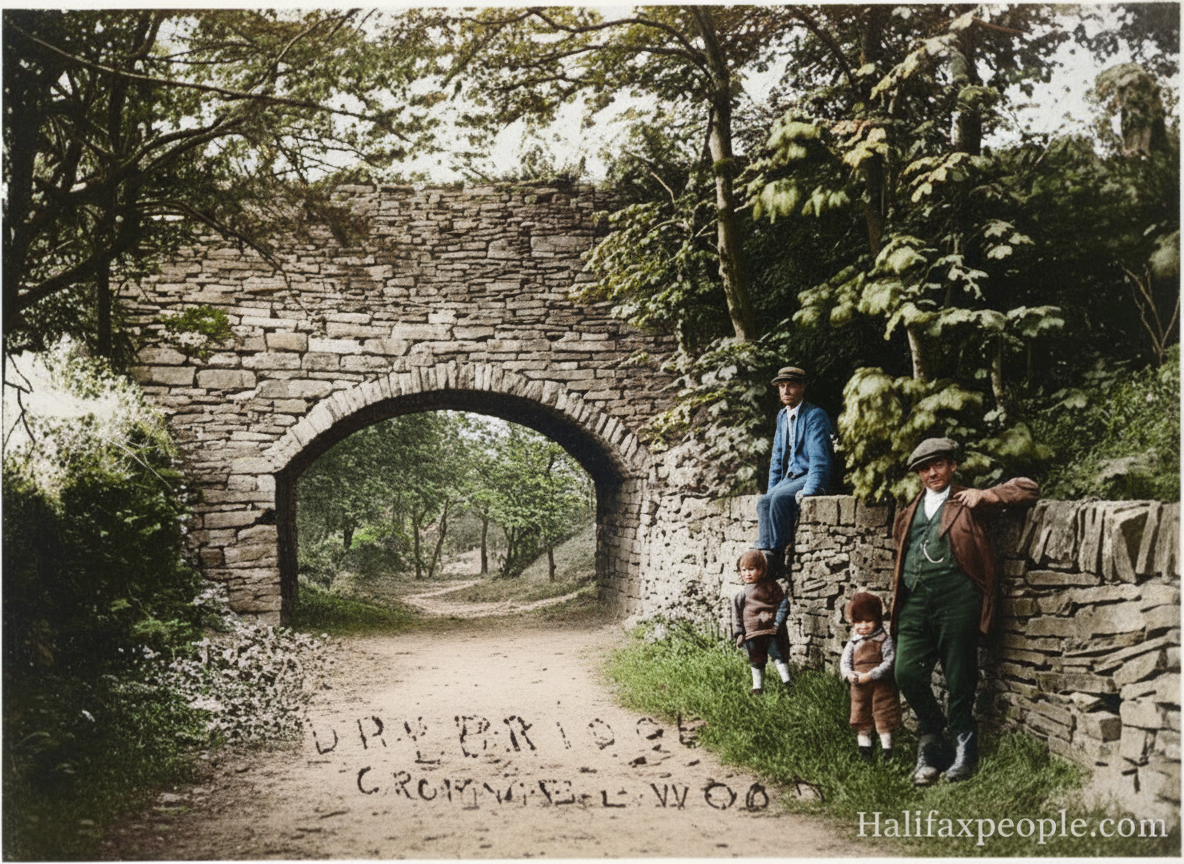
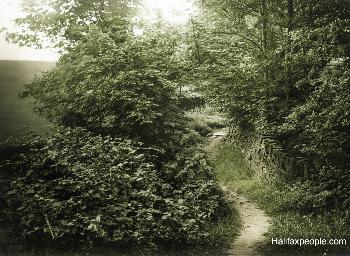
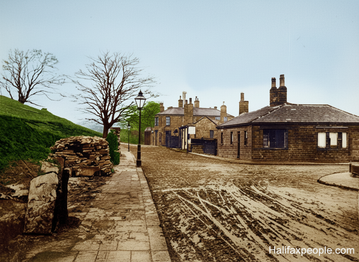
Boggart House lies at the bottom of Ashday Lane. At one time a road continued down to Cromwell Bottom. A walled track is still accessible.

enhanced

enhanced


enhanced
enhanced

enhanced

enhanced

enhanced

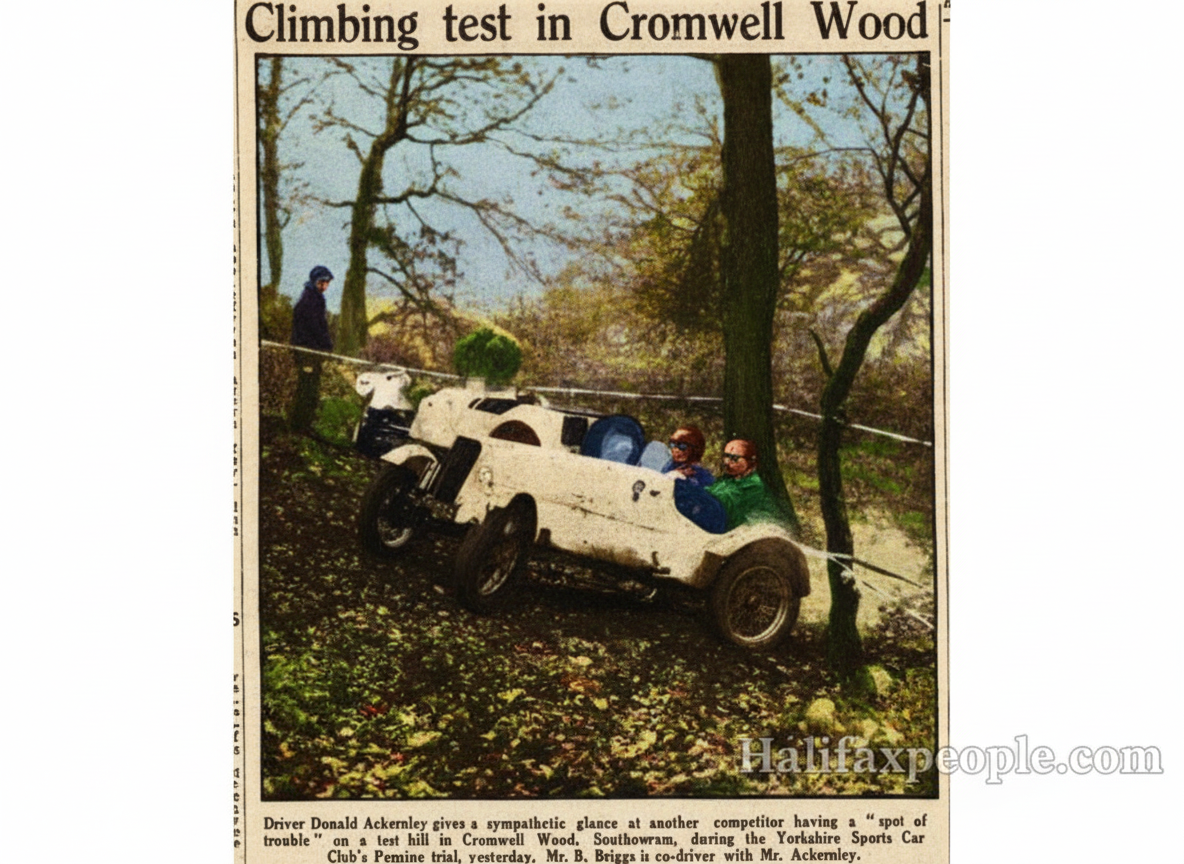
enhanced


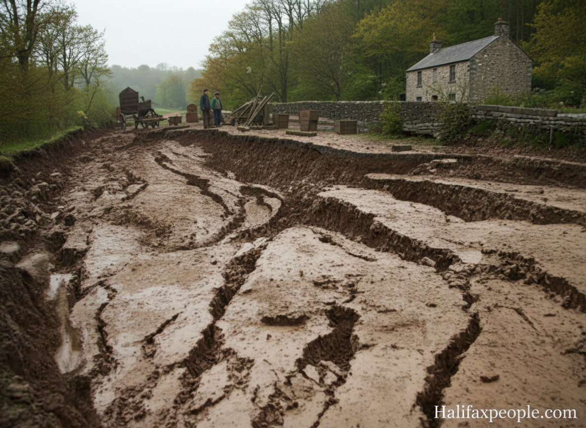
enhanced

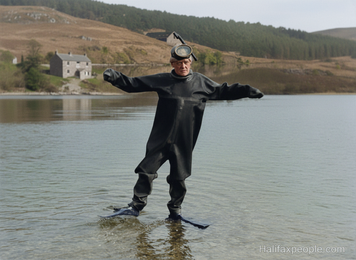
Last of the Summer Wine filming at Cromwell Lake

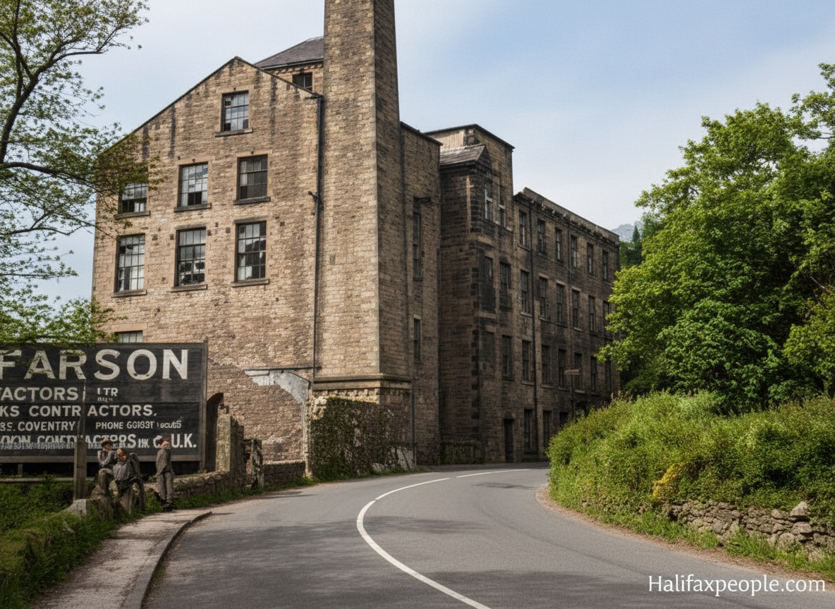
Woodside Flour Mill enhanced
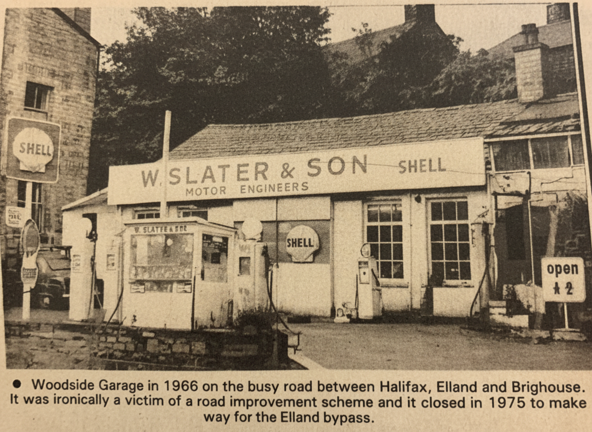

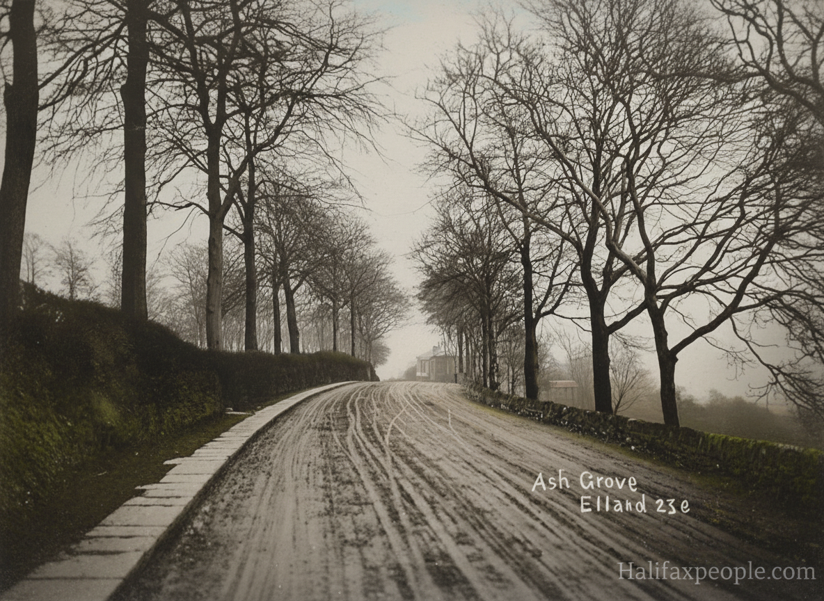
enhanced

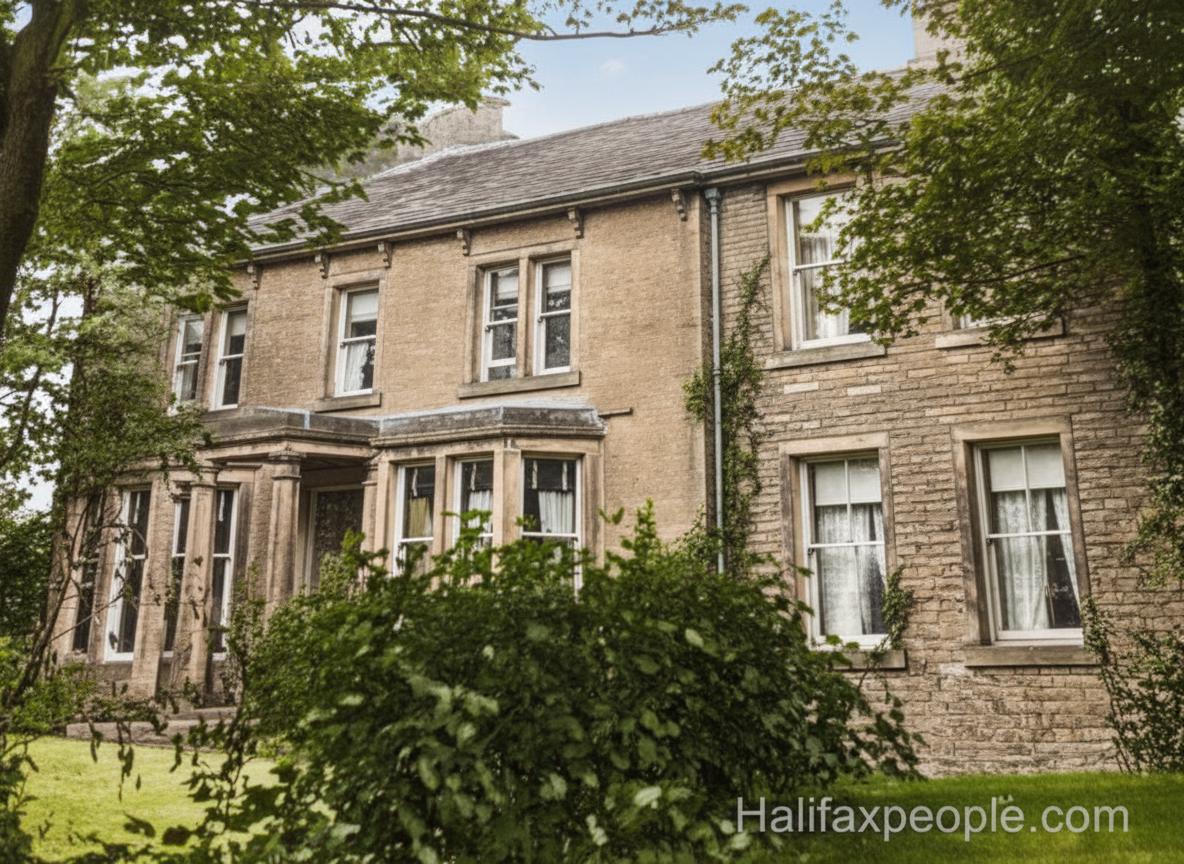
Now these are apartments enhanced

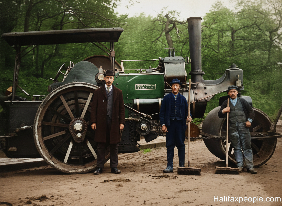
Aveling and Porter roller No3757 working in Elland Wood Bottom circa 1910
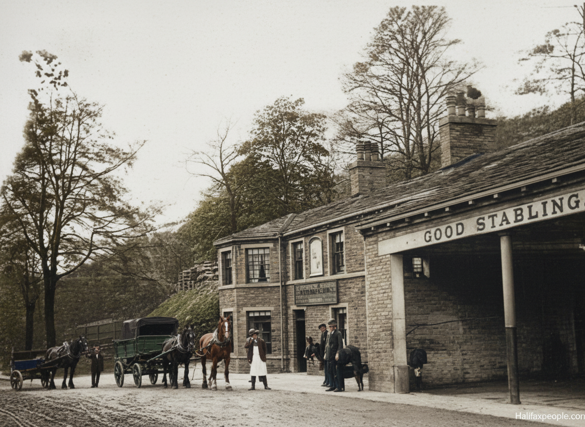
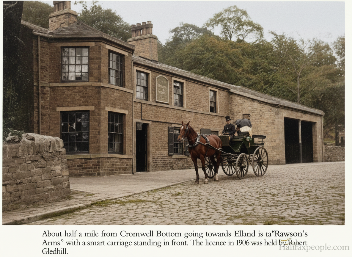
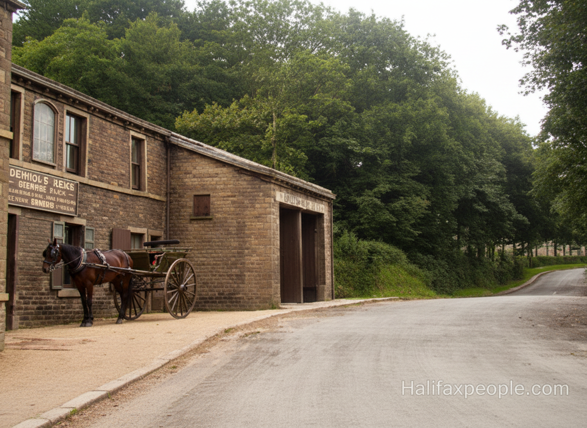
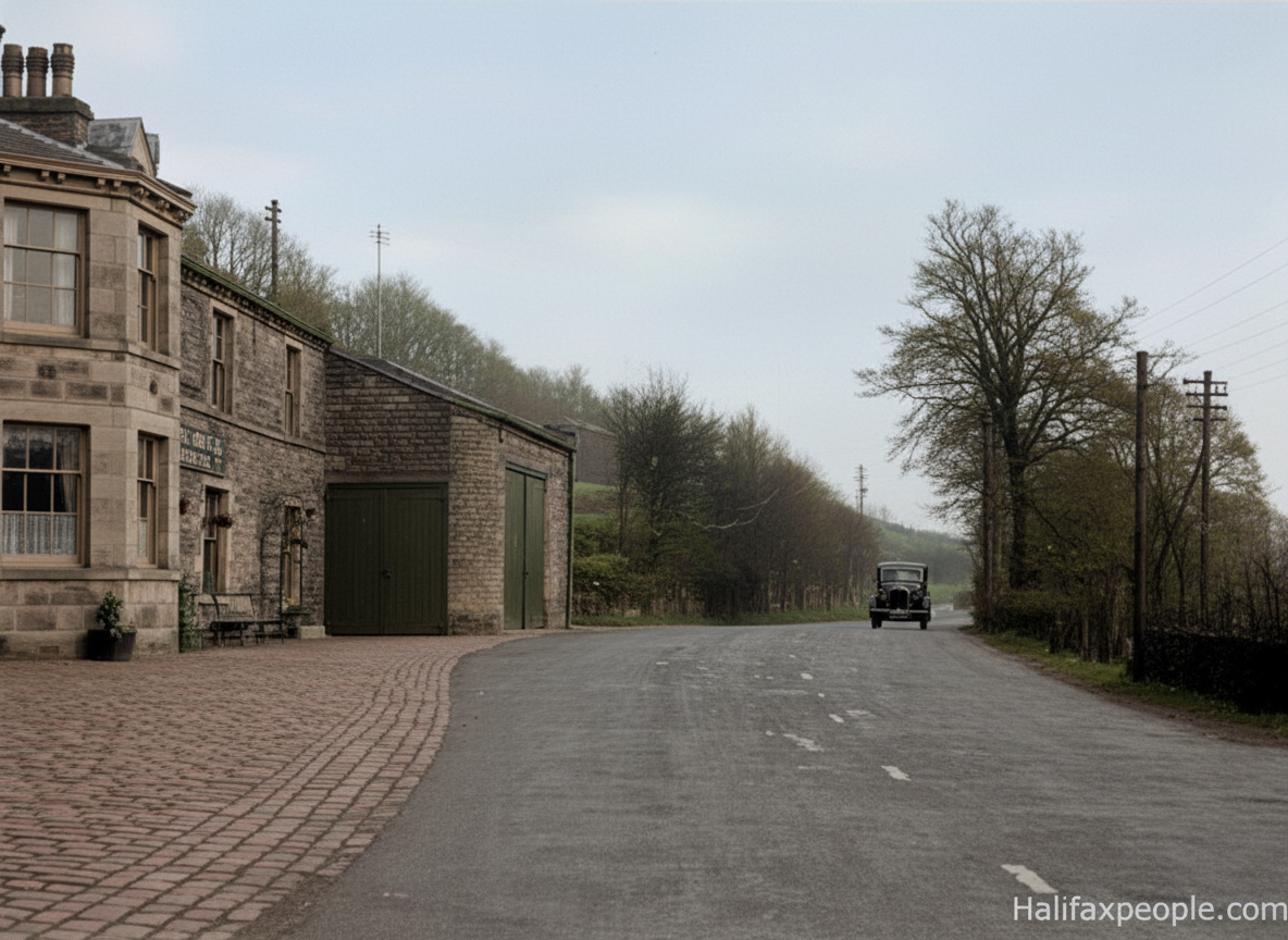
Rawson Arms

enhanced

enhanced

enhanced
  enhanced |
 |

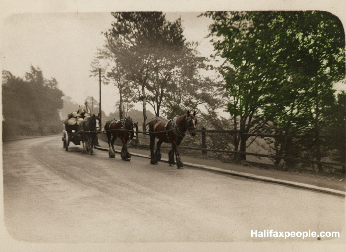
enhanced


Park Wood Crematorium


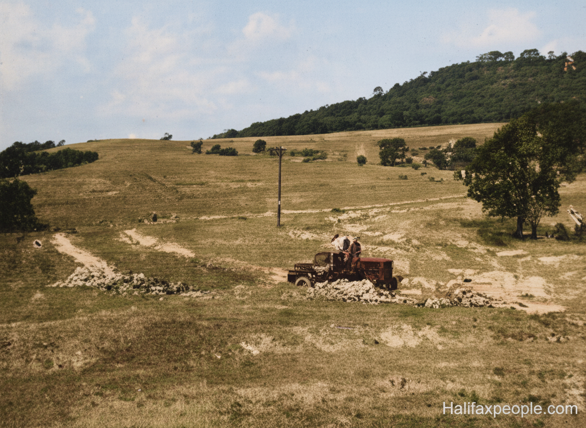
enhanced
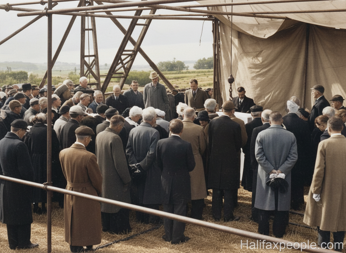
enhanced

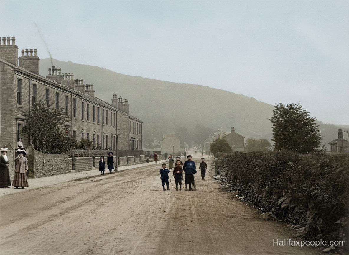
enhanced

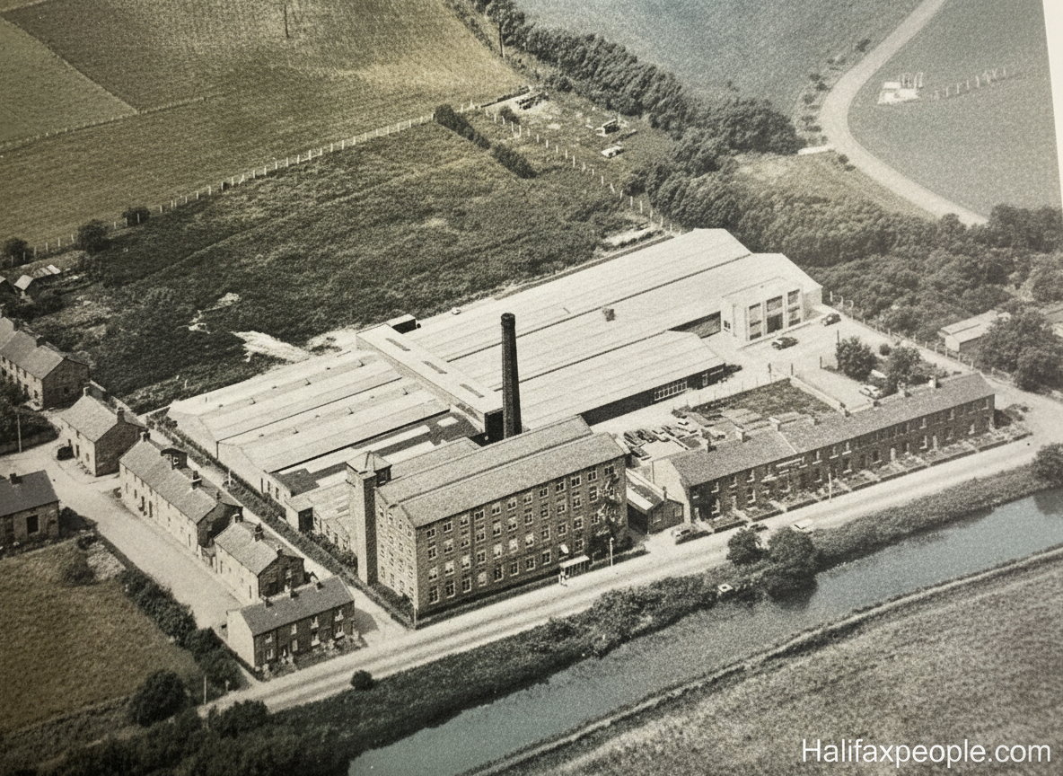
The road around the crematorium can be seen, top right

enhanced

enhanced

enhanced


enhanced
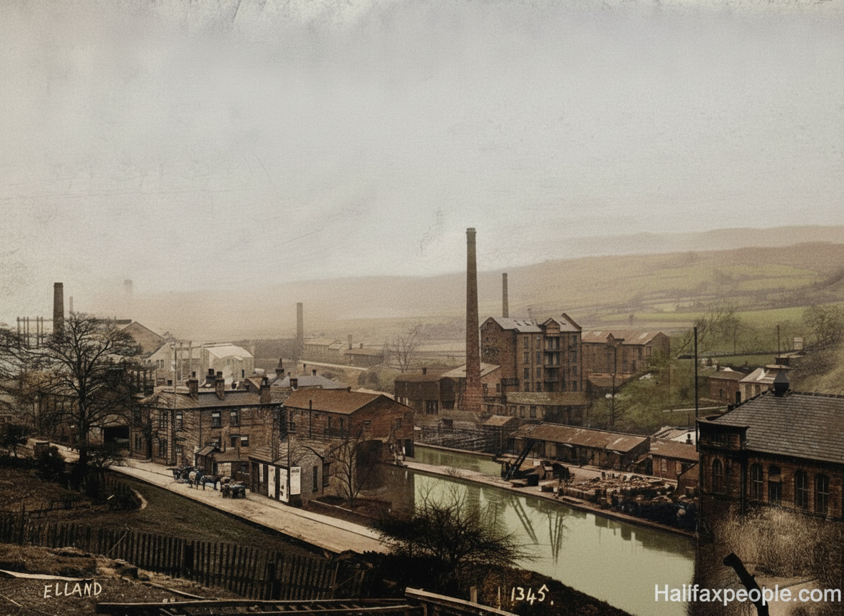
Horses outside the Barge and Barrel(Station Hotel)
Do you want to continue our historic tour?
Please Choose
- Go over the bridge to Elland
- Go to Exley and Siddal
- View Salterhebble
- Return to Home page
If you have enjoyed your visit to this website, please spread the word by clicking the 'like' and 'share' buttons below. Thank you