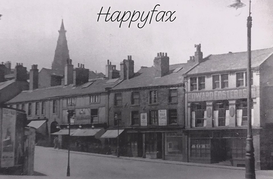
Woolshops
Woolshops


digitised

 |
 |


digitised


digitised

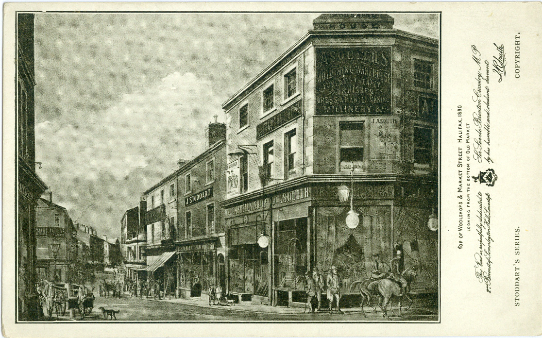
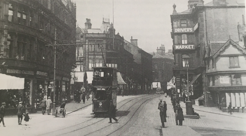
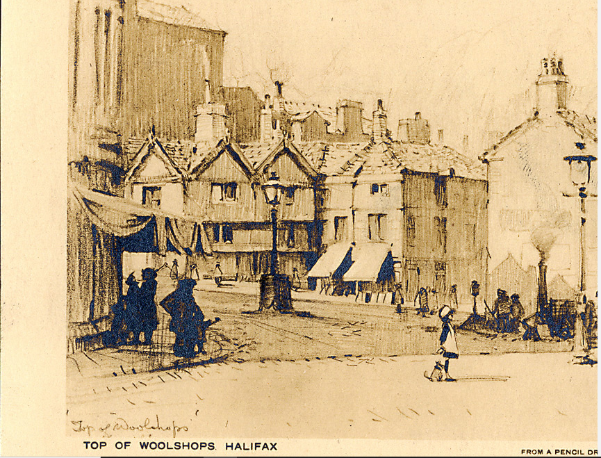
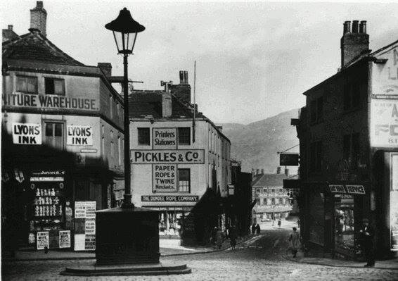
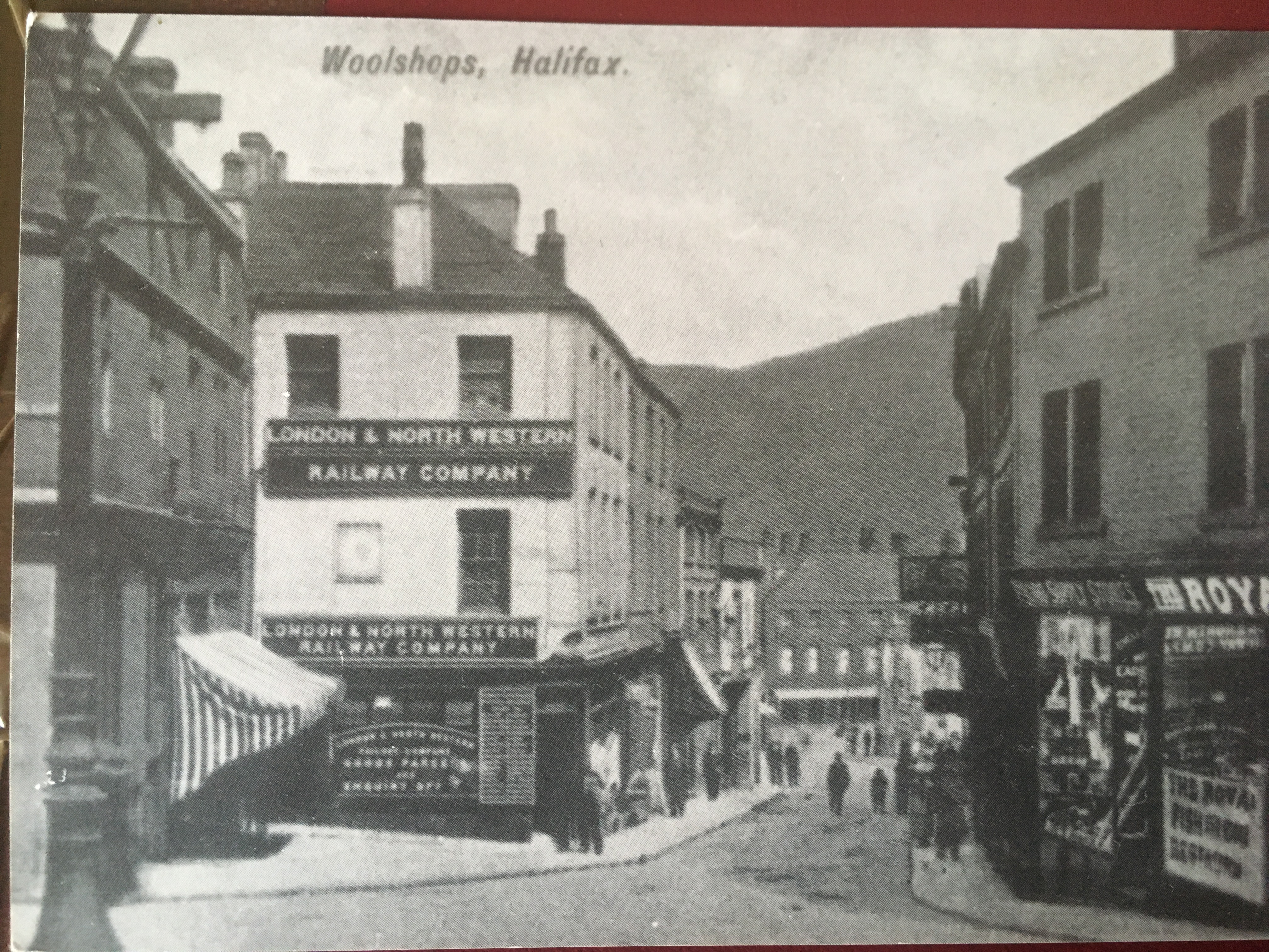
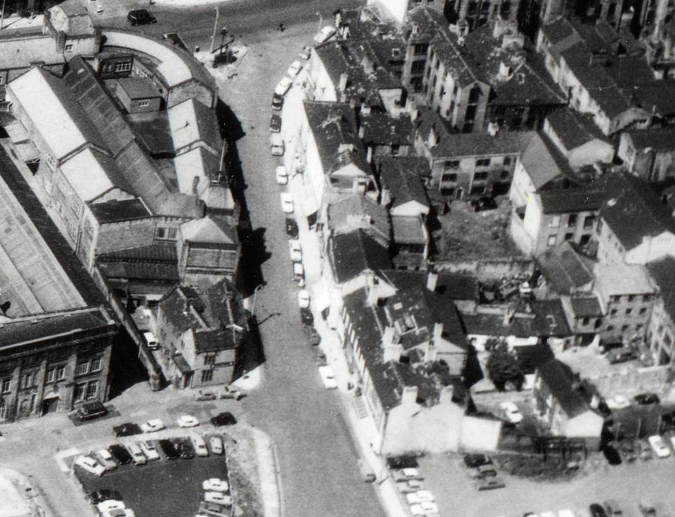
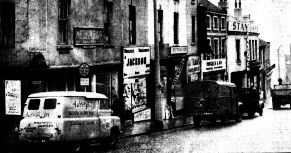
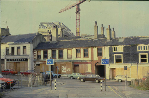
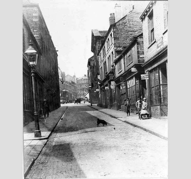
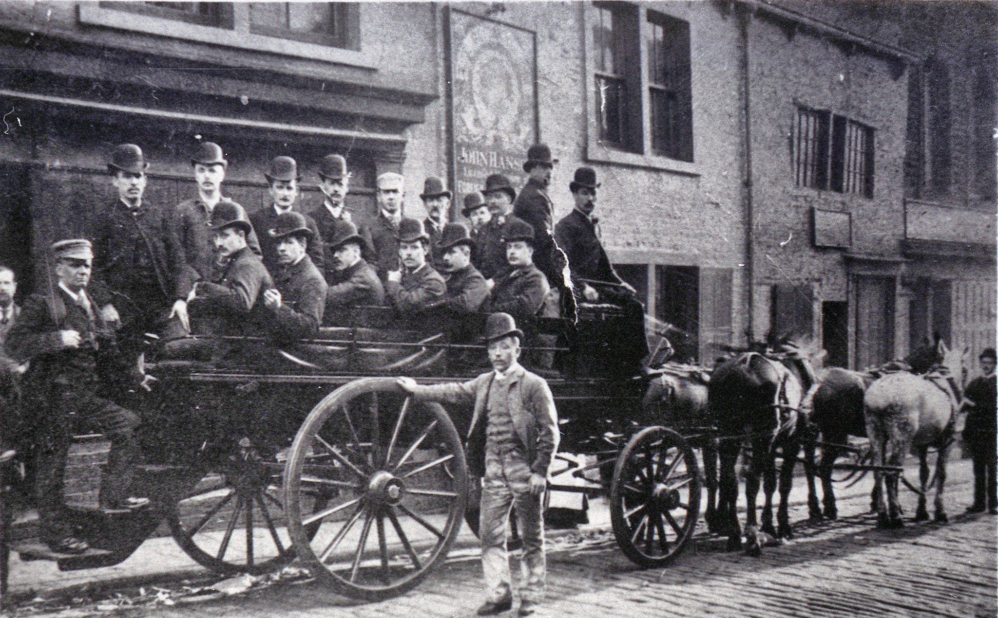
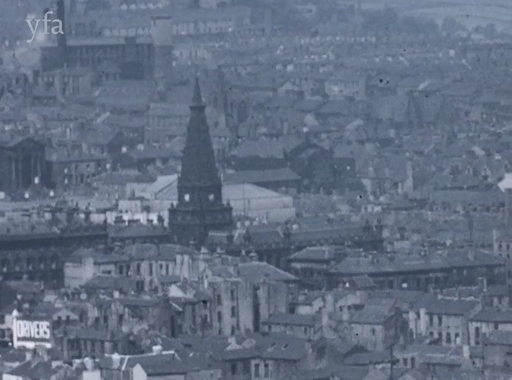
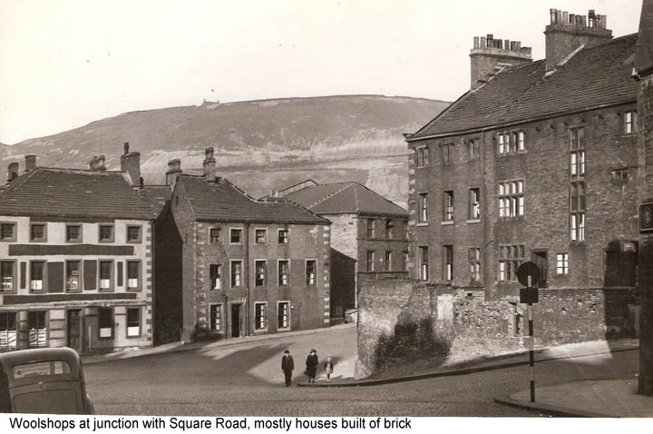
Woolshops in the late 1920's. It was a run down district by then, but it was the historic gateway to Halifax and this view shows why, for the outline of Beacon Hill can be seen in the background. In the middle ages, the Magna Via packhorse trail, which crossed Beacon Hill, was the principal route into Halifax and travellers would descend the hill and enter town via a sloping street where wool merchants would set up their stalls - hence Woolshops.
It had become a rundown, even notorious area by the late 19th century and the council began to hatch plans to improve it. Like most Halifax schemes it took a long time to get off the ground, but by the 1920's properties were being purchased and demolished by the local authority in order to make way for road widening.


digitised


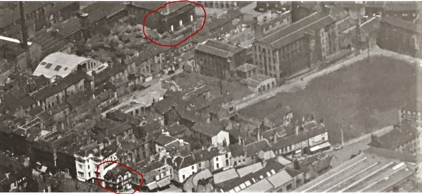
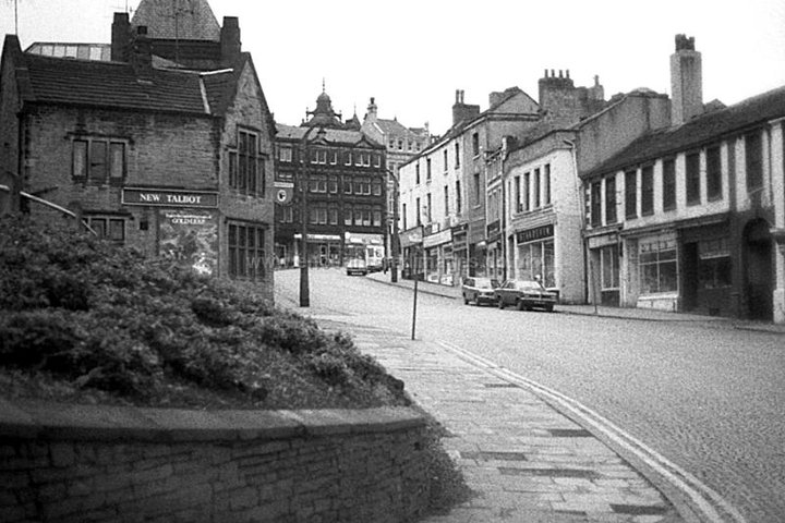

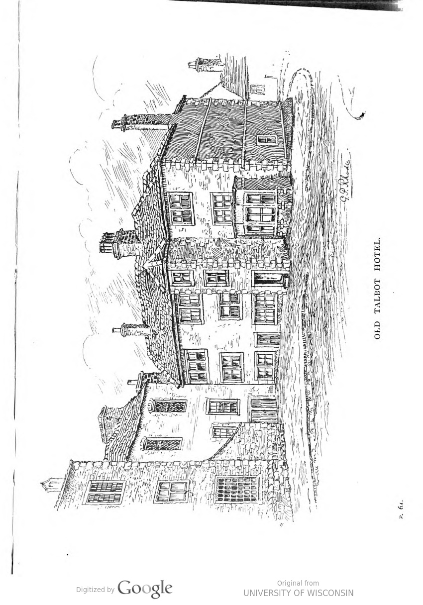
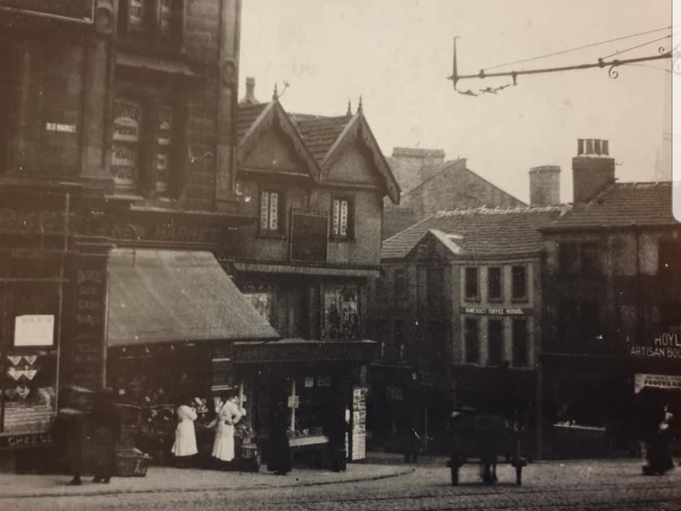
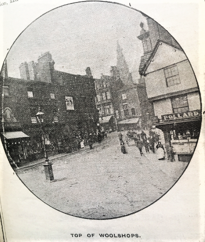
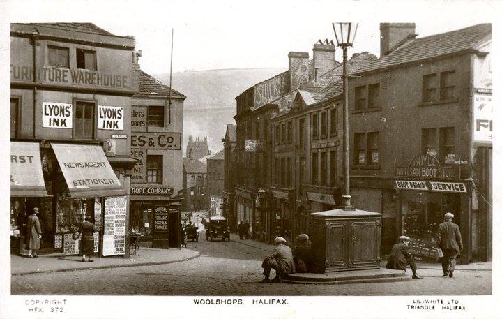
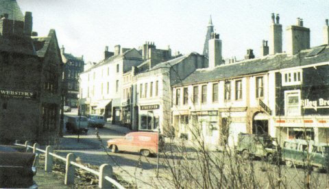
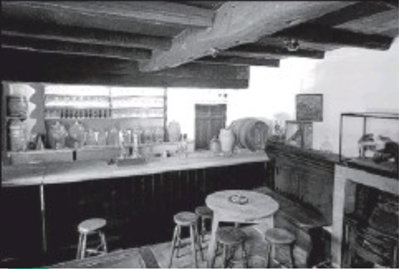
The Woolpack was hidden to the left of the Old Talbot in this picture with access to it from further up Woolshops


digitised


 |
 |


digitised

Brittania Inn - 79 Woolshops

digitised


RSPCA buildings - Read More

digitised
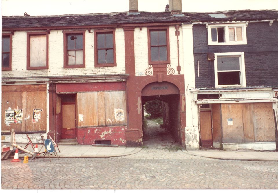
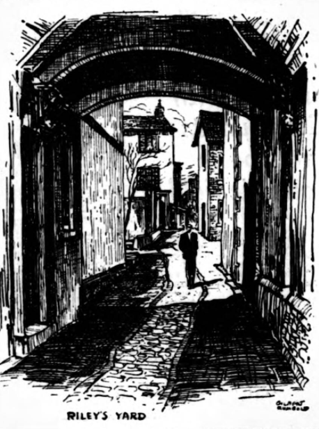
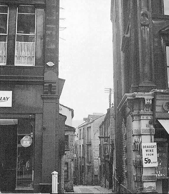
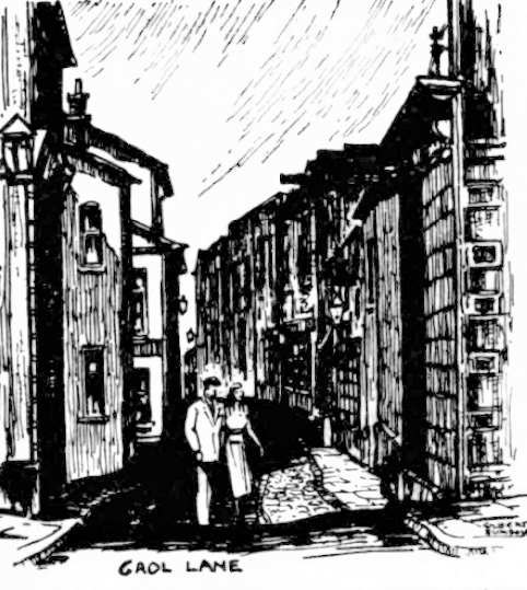
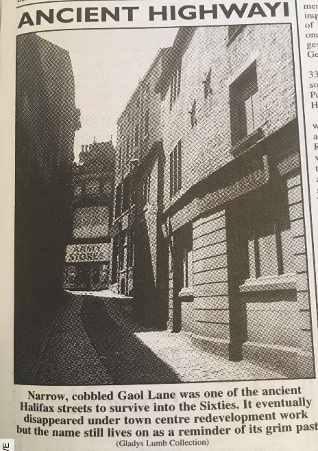
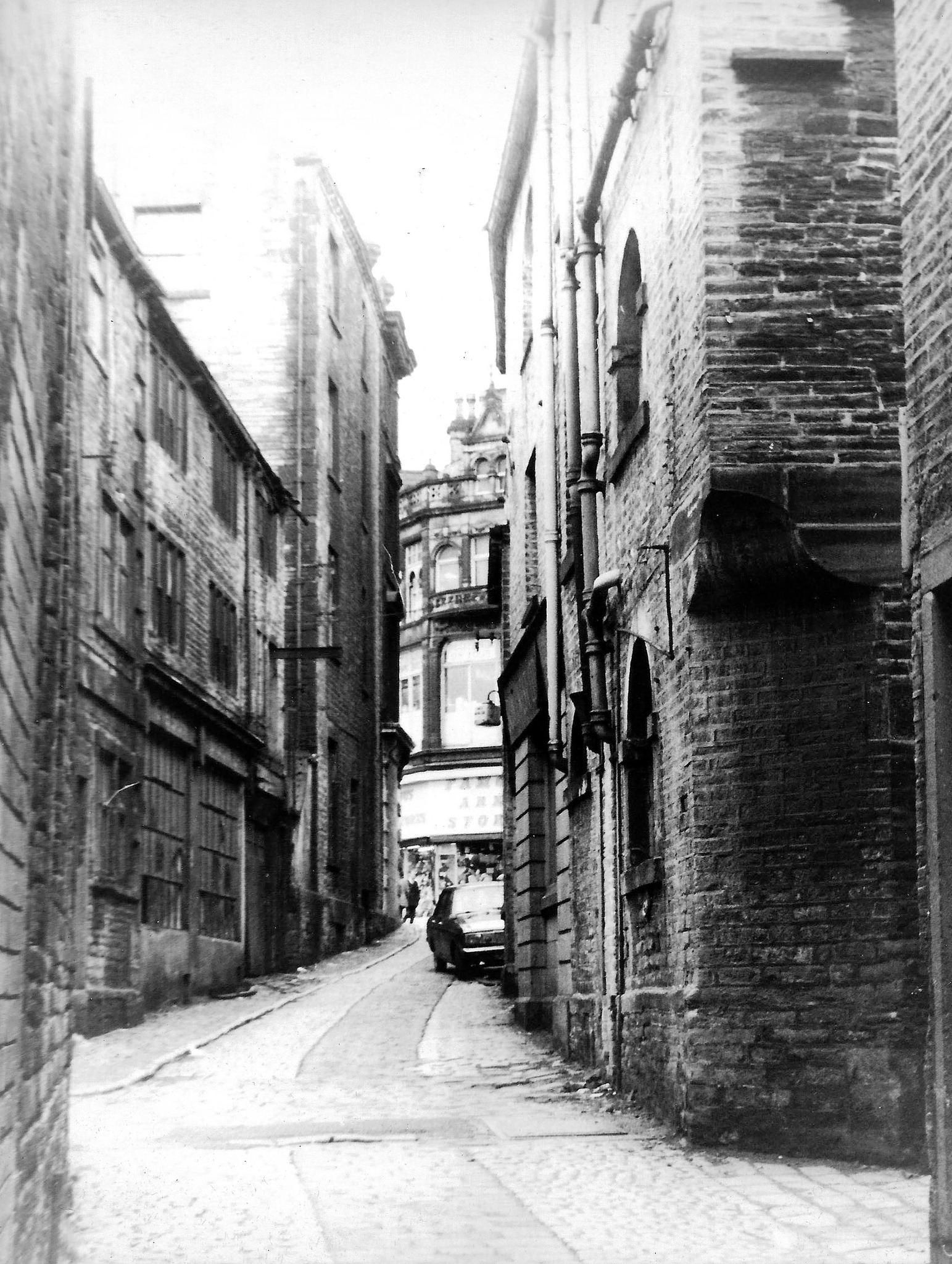
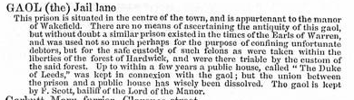
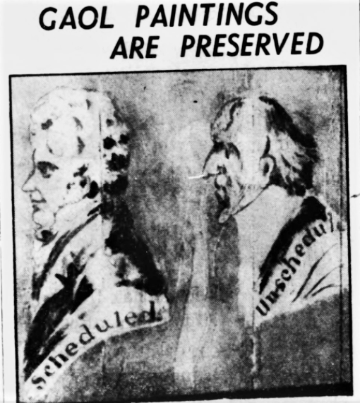
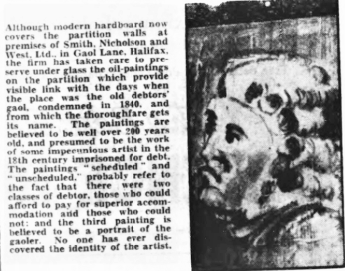
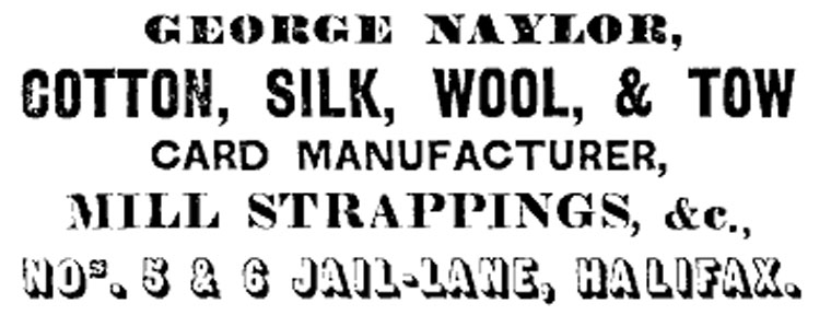
Gaol Lane


digitised
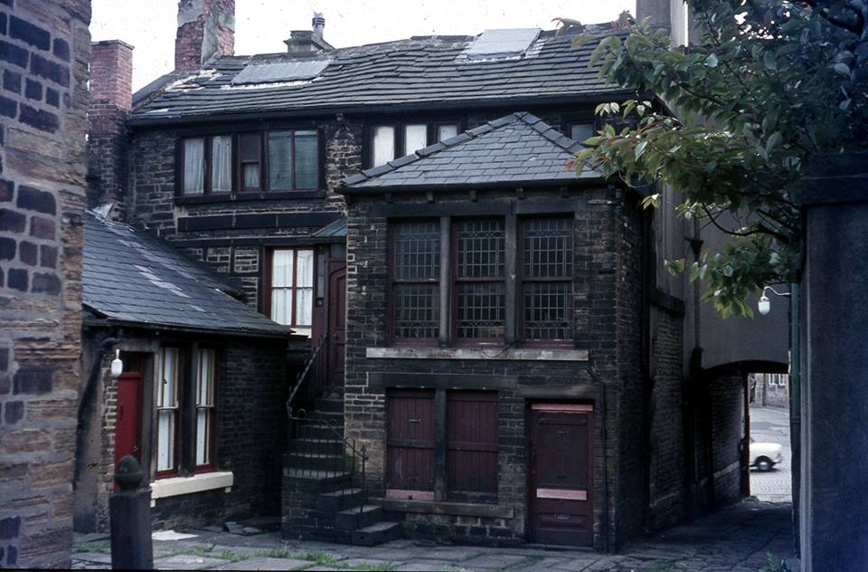
Chapel Fold
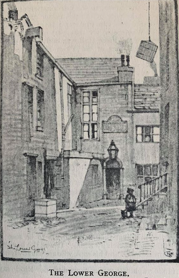
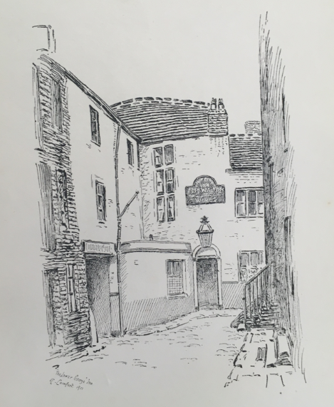
Area between Nos 28 and 32 and Gaol Lane.
In 1763, Titus Knight established a small independent meeting house in 2 houses here.
There were Common Lodging Houses here [1904].
In 1934, Halifax Corporation decided that it would compulsorily purchase properties in this densely populated part of Halifax, as part of a clearance programme.
In 1936, there were 24 houses in the fold
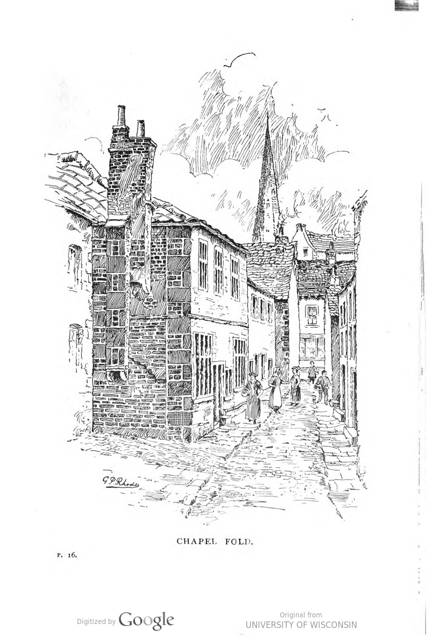
Chapel Fold was the first road up, running north to south between the bottom of Gaol Lane and Woolshops.


digitised
 |
 |
 |
 |

digitised
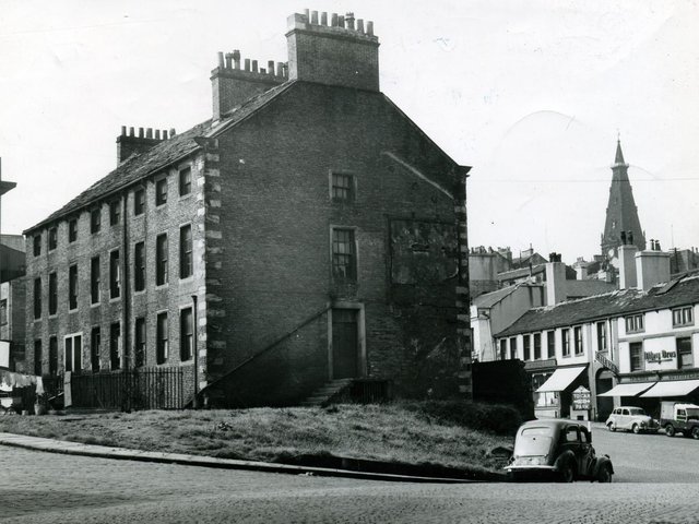
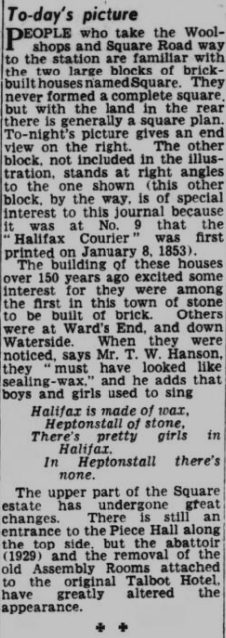
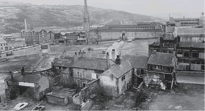
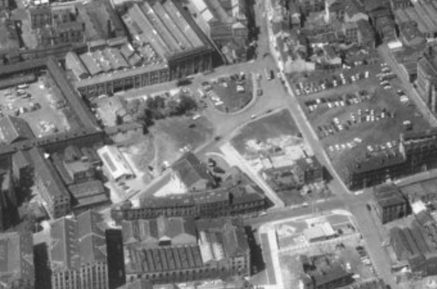
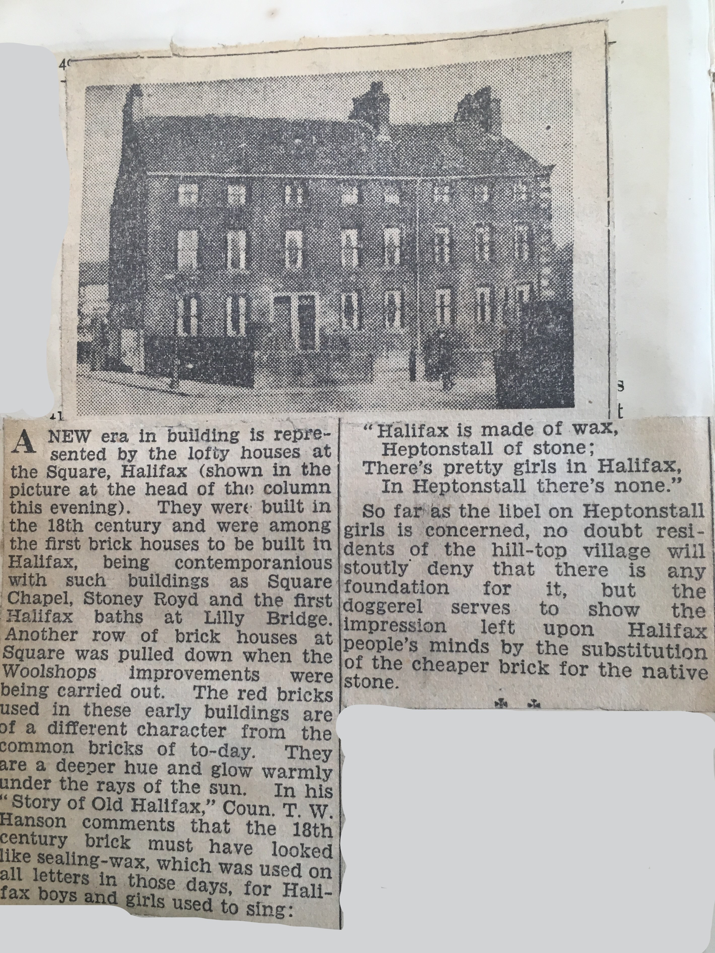
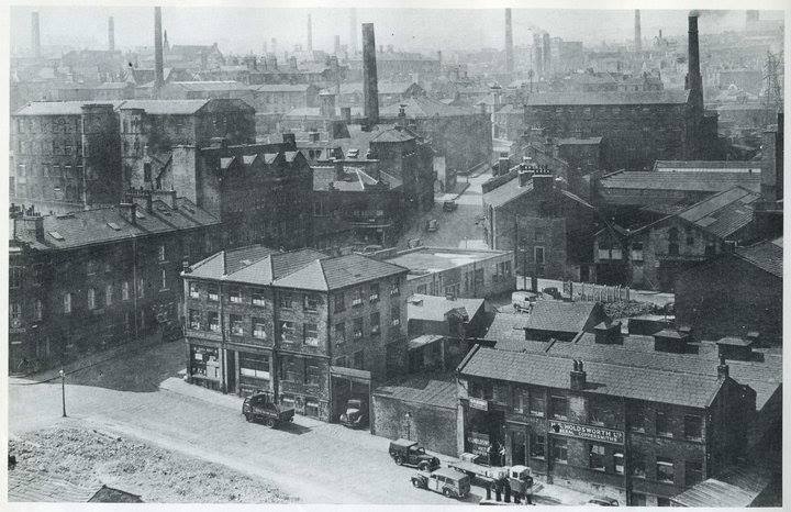
The Square
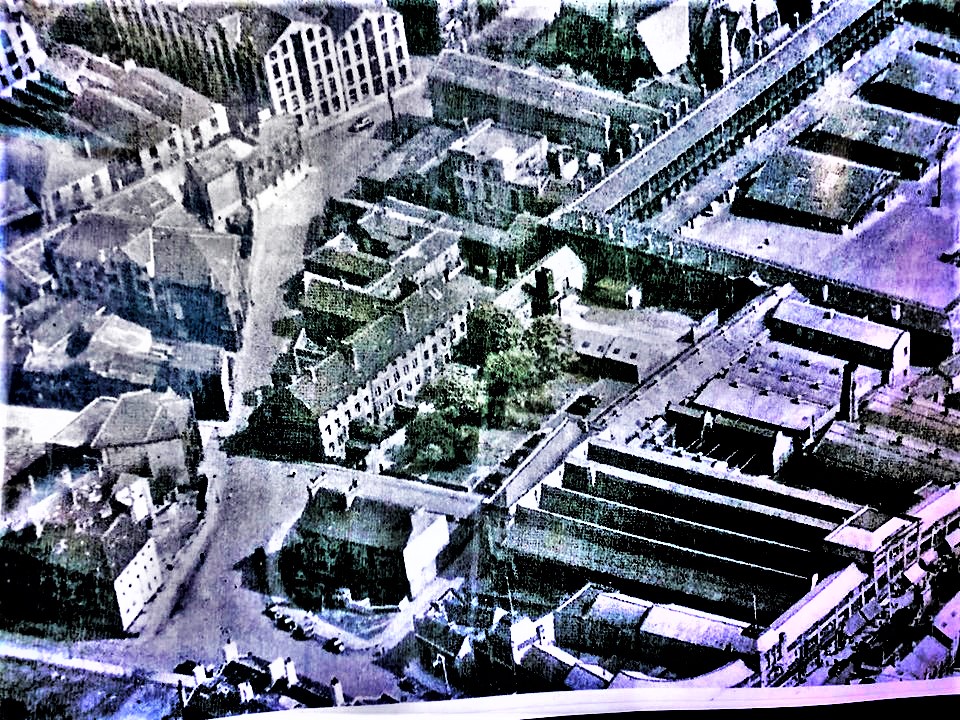
Area known as 'The Square' - in between Woolshops and the Piece Hall.
Crispin in the middle of Charles Street which went from Smithy Street,
through Causeway, to Square Road.
View King Street and Cripplegate
If you have enjoyed your visit to this website, please spread the word by clicking the 'like' and 'share' buttons below. Thank you
Are you wanting to find information on a specific Halifax subject? Search here
