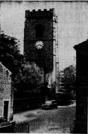
Historic Elland

Historic Elland is surrounded by several other smaller communities and therefore we have divided this page into the following sections.
- Elland - Long Wall, Elland Bridge and Northgate(this page)
- Elland - Briggate and Huddersfield Road
- Elland - Church Street, Westgate and Hullen Edge
- Elland - Southgate and side streets
- Elland - Victoria Road and streets to south
- Elland - Ainleys
- Elland - Elland Lane and Dewsbury Road
Huge thanks go to Steaven Heppener for allowing the use of his huge collection of photographs of Elland and surrounding areas.

1. Elland from Halifax, West Vale and Elland Bridge
From West Vale


The bottom road approaching Elland Bridge from the West Vale direction, the top road approaching the top of Westgate.

SHeppener

SHeppener
Elland Bridge

Elland Bridge to the left (where the cows have come from).

Elland Bridge taken from the 'The Royal' or 'The Bridge' side.


 |
 |
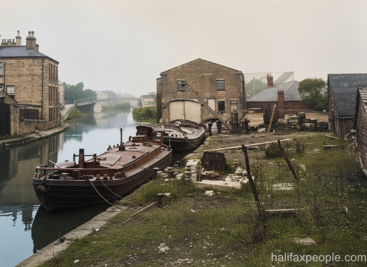
enhanced

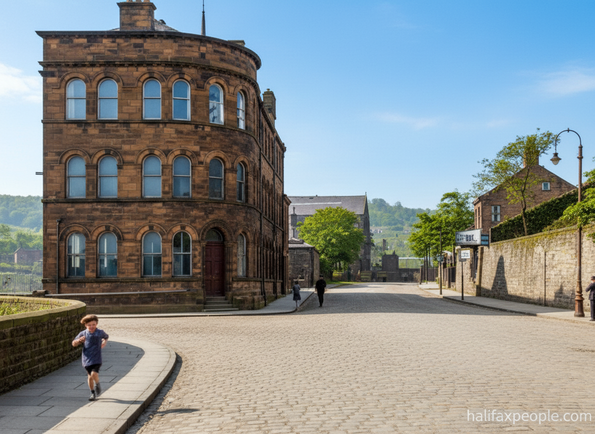
enhanced
Elland New Hall

Graham Jagger
On the left was Lilies Dye Works, demolished in the 1930s. Elland Hall was demolished in the 1970s.
On the right was Elland Toll House, demolished in the early 1900s when it became unoccupied and is now a small park.
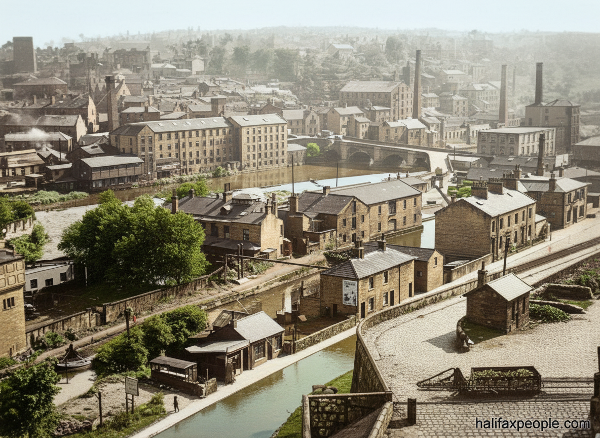
Park Road towards Brighouse


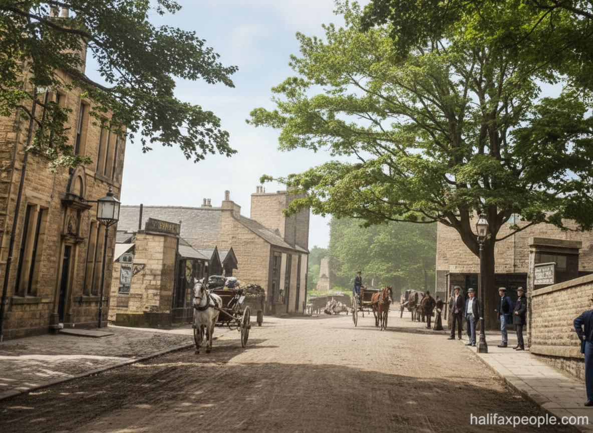
enhanced

enhanced


View from Exley
The Barge and Barrel is far right. Elland town centre is out of sight, top left

Elland Bridge left. Straight ahead towards Salterhebble
Elland Train Station


SHeppener

SHeppener


SHeppener
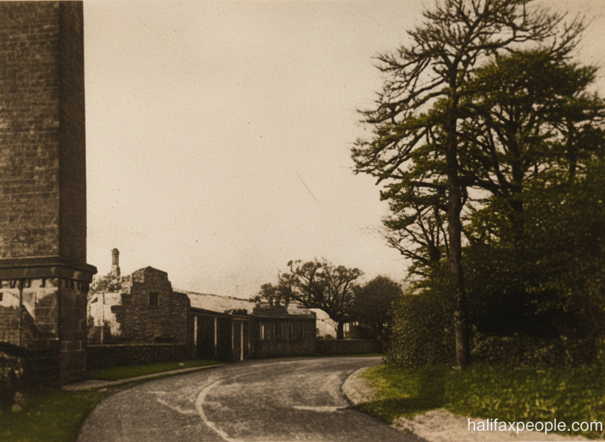
Park Road continued

SHeppener


SHeppener
enhanced
See Cromwell Bottom
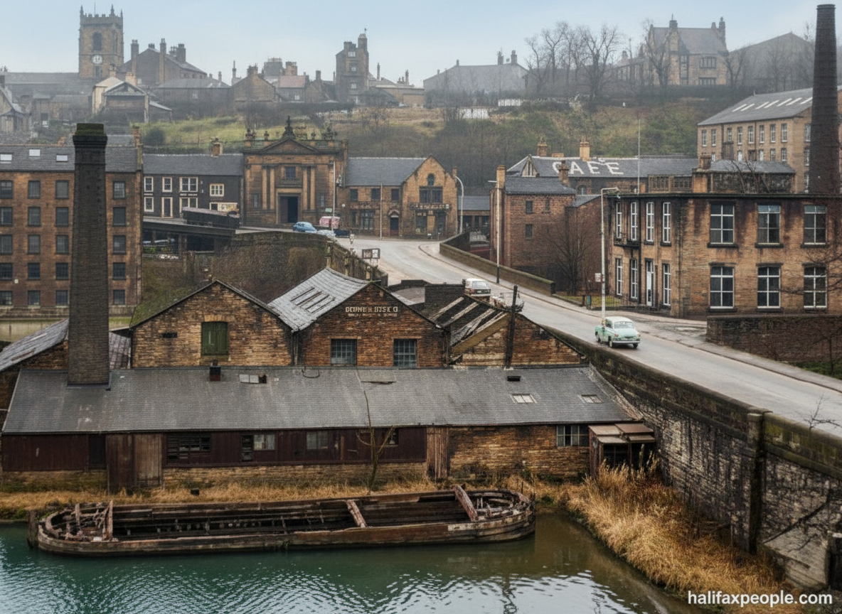
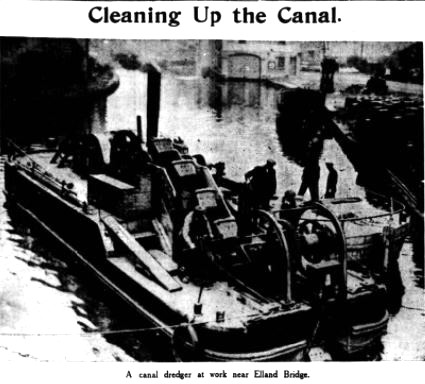
Returning across Elland Bridge again and heading towards Westgate


SHeppener

enhanced
enhanced


SHeppener
enhanced


 |
 |

enhanced

This will be the start of the "Elland - Huddersfield Road and Historic Ainleys" page which would be to continue along this main road OR this page continues up Northgate on the right, just before the distant telegraph pole and up to The Cross.
Have you got something to add to this Topic?
Do you have anything to add to this page?
Continue with our next tour of Historic Southowram
or
Return to Home Page
If you have enjoyed your visit to this website, please spread the word by clicking the 'like' and 'share' buttons below. Thank you


