
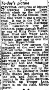
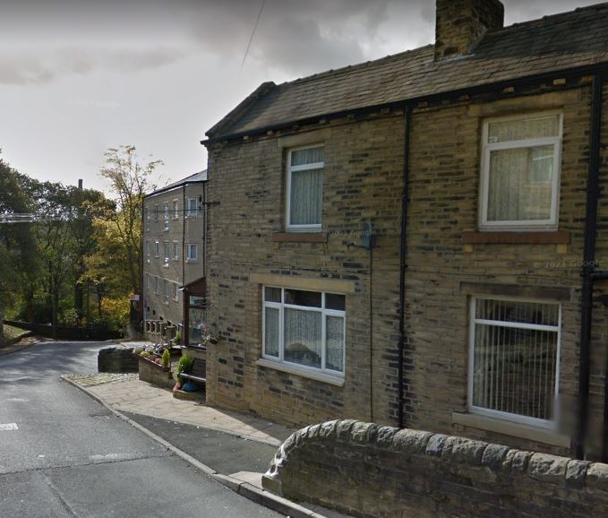
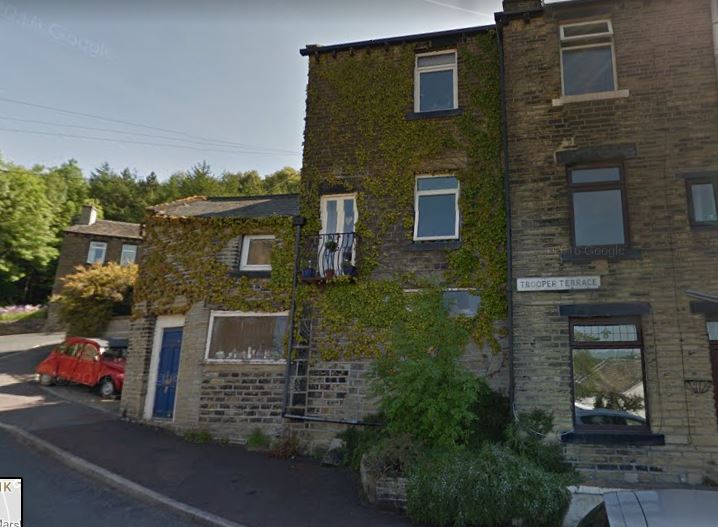
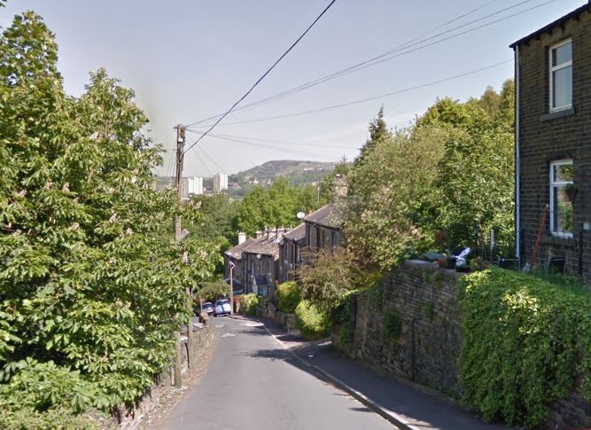
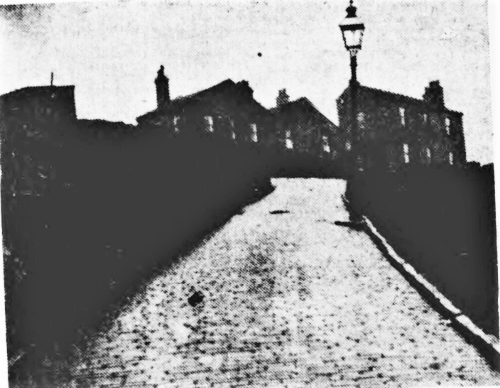
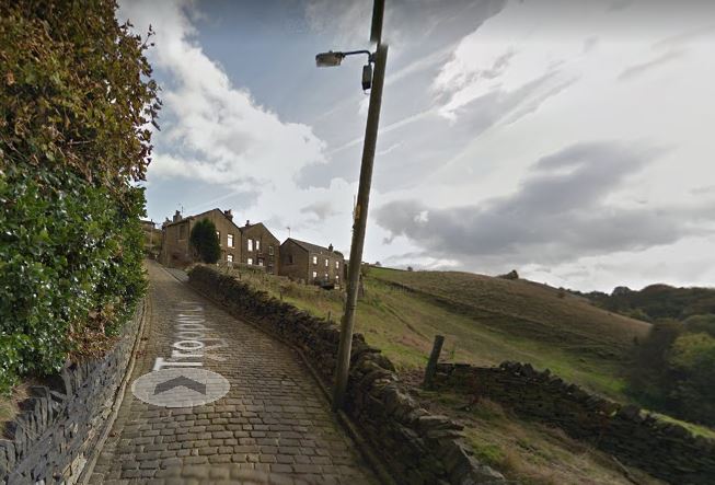
Trooper Lane
Trooper Lane, Pit Hill, Caddy Field and the Stoney Royd area. Please feel free to add your own input by emailing info@halifaxpeople.com
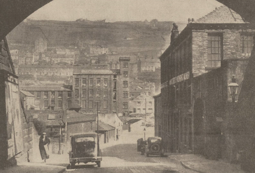
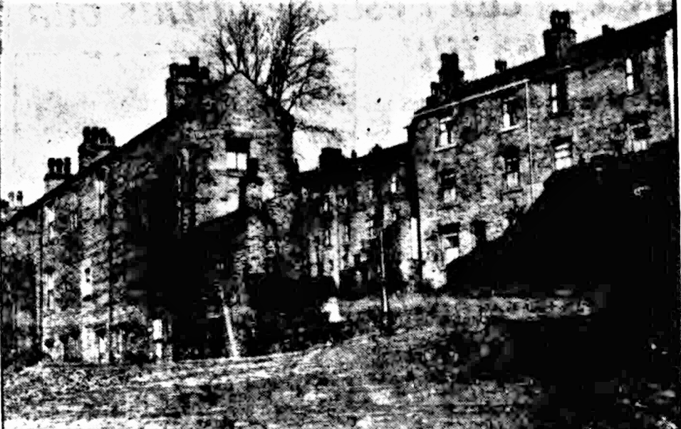
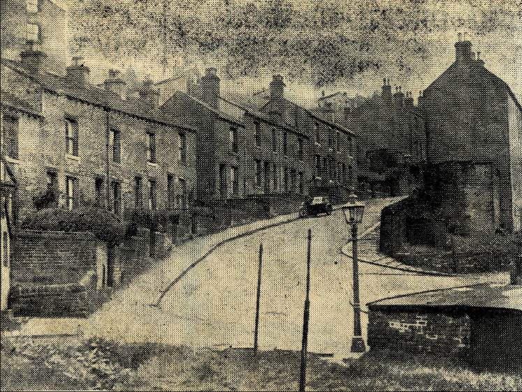
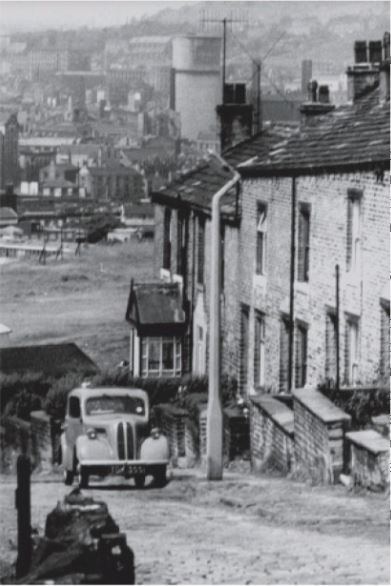
An old Courier photo of Water Lane looking at the Trooper Lane area.
This is the area around the back of Mackintoshes.
Trooper Lane is 200 yards to the right of this picture.
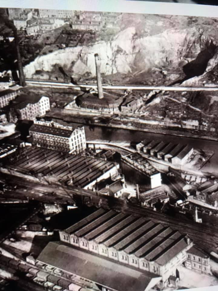
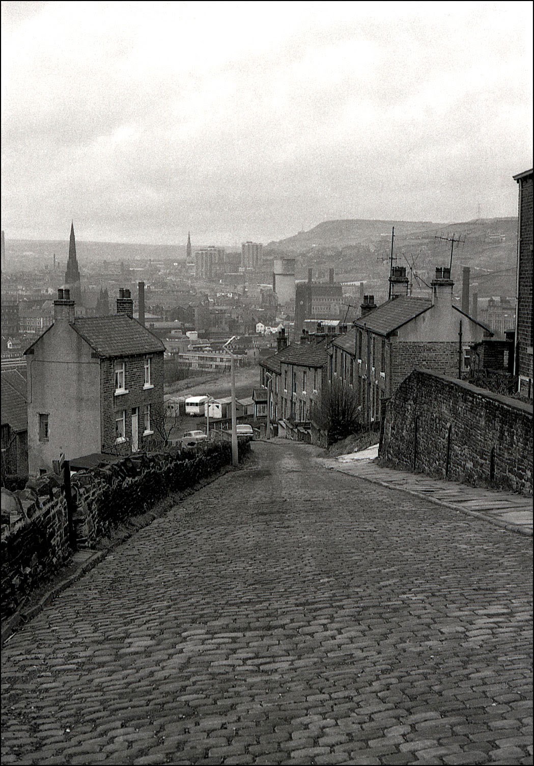
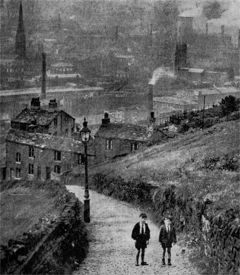
Here we can see Stoney Royd Fever hospital in the foreground with the Caddy Field school behind it and Trooper Lane winding up towards Blaithroyd Lane which runs along the picture 3/4 of the way up.


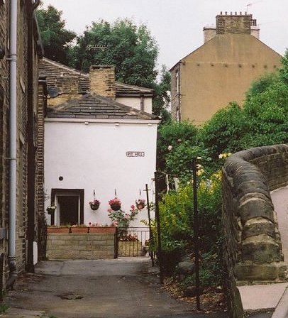
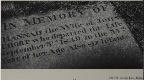
Pit Hill was so called due to all the mining in this area.

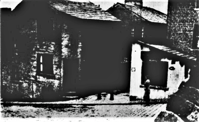
Trooper Lane Co-op
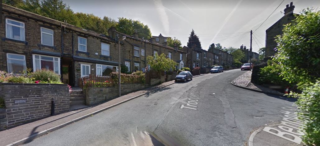
Past and present.
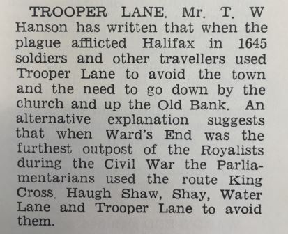
Mr T W Hanson wrote that the name 'Trooper Lane' derives from when the plague afflicted Halifax in 1645, soldiers and other travellers used Trooper Lane to avoid town and the need to go by the church and up 'Old Bank' where the disease was rife. An alternative reason for it's name suggests that when 'Ward's End' was the furthest outpost of the Royalists during the Civil War, the Parliamentarians used the route King Cross, Haugh Shaw, Shay, Water Lane and Trooper Lane to avoid them.
Carry on up Trooper Lane, just above Blaithroyd Lane and as you reach the next bend you would come to Prospect Terrace, a block of ten back to back houses before the road finally levels off and makes it's way back to the main road (Bank Top).
These videos were filmed on Trooper Lane. The first was Gary Lineker in a Walkers crisp ad and the second was a Joe Jackson music video
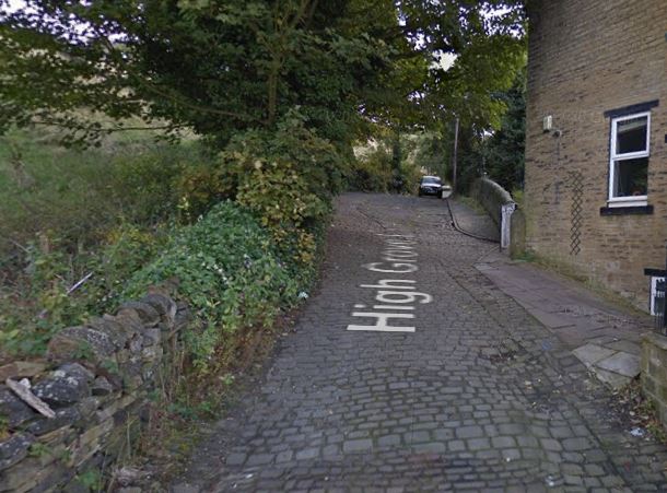
High Grove Lane
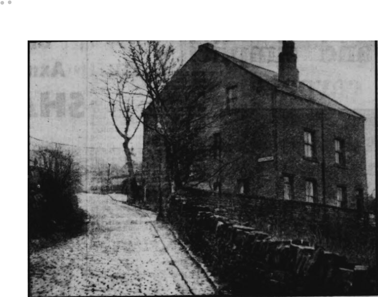
Holly Mount
In a 1905 almanac, Holly Mount included

 |
  |
High Grove Terrace
High Grove Place
1905 - 1. Alfred Remmer, 3. Mrs Eagland, farmer 5. Louis Mallinson
 |
 |
Return to Southowram History 3 - Blaithroyd Lane
Continue to Southowram History 5 - Beacon Hill Road
If you have enjoyed your visit to this website, please spread the word by clicking the 'like' and 'share' buttons below. Thank you
Are you wanting to find information on a specific Halifax subject? Search here

This page is sponsored by

- Parish Church to Old Bank
- Southowram Bank
- Blaithroyd Lane
- Trooper Lane
- Beacon Hill Road
- Bank Top +
- Marsh Lane +
- Law Lane (part 1)
- Law Lane (part 2)
- Towngate
- New Street
- West Lane/Hall Ings/Park Nook
- Ashday Lane and areas
- Caine Lane/Cromwell/Charles Ave
- St. Annes/Halfpenny Can/Barker Royd
- Brookfoot Lane Top and areas
- Brookfoot bottom
- Brookfoot Village
- Cromwell Bottom/Woods
- Walterclough
- Sunny Vale
Specific Subjects
- Southowram Pub Crawl Part 1
- Southowram Pub Crawl Part 2
- Churches and Chapels
- Southowram Shops
- Mines and Quarries
- Marshalls PLC
- Allens Brickworks
- Knowles Brickworks
- Southowram-A Thousand Years
- Ashday Hall
- Observatory
- Law Hill House
- Beacon House
- Castlemaine House
- Manor House
- Southholme Farm
- Magna Via
- The Poplars
- Railway/Cable-Car
- Historic People
- Groups photos
- Sport and Pastimes
- Accidents and Occurrences
- Ghosts and Ghouls
- Auctions
- Newspaper cuttings
- Bits and Bobs
- Did You Know?
- Calendar of Events